You are here: Home > Network List > AK - Alaska Regional Network Stations List
> Station MDM Murphy Dome > Earthquake Result Viewer
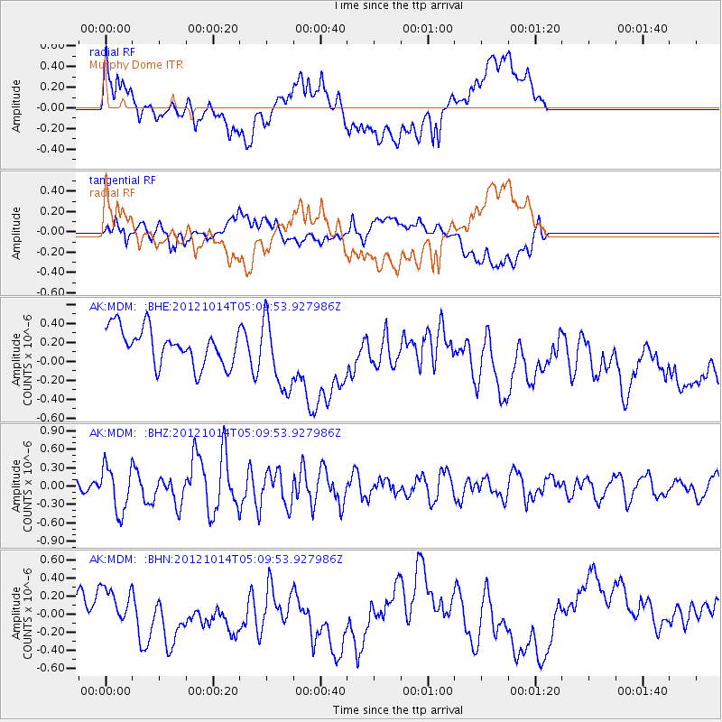
MDM Murphy Dome - Earthquake Result Viewer
*The percent match for this event was below the threshold and hence no stack was calculated.
| Earthquake location: |
Solomon Islands |
| Earthquake latitude/longitude: |
-7.1/156.0 |
| Earthquake time(UTC): |
2012/10/14 (288) 04:58:04 GMT |
| Earthquake Depth: |
37 km |
| Earthquake Magnitude: |
5.8 MB, 5.5 MS, 5.8 MW, 5.8 MW |
| Earthquake Catalog/Contributor: |
WHDF/NEIC |
|
| Network: |
AK Alaska Regional Network |
| Station: |
MDM Murphy Dome |
| Lat/Lon: |
64.96 N/148.23 W |
| Elevation: |
634 m |
|
| Distance: |
82.8 deg |
| Az: |
20.764 deg |
| Baz: |
235.749 deg |
| Ray Param: |
$rayparam |
*The percent match for this event was below the threshold and hence was not used in the summary stack. |
|
| Radial Match: |
46.574818 % |
| Radial Bump: |
400 |
| Transverse Match: |
54.61511 % |
| Transverse Bump: |
400 |
| SOD ConfigId: |
478790 |
| Insert Time: |
2013-02-23 03:29:04.880 +0000 |
| GWidth: |
2.5 |
| Max Bumps: |
400 |
| Tol: |
0.001 |
|
Signal To Noise
| Channel | StoN | STA | LTA |
| AK:MDM: :BHZ:20121014T05:09:53.927986Z | 2.3232806 | 3.676031E-7 | 1.5822587E-7 |
| AK:MDM: :BHN:20121014T05:09:53.927986Z | 0.5932235 | 1.3878582E-7 | 2.3395198E-7 |
| AK:MDM: :BHE:20121014T05:09:53.927986Z | 1.9952903 | 3.7955397E-7 | 1.9022494E-7 |
| Arrivals |
| Ps | |
| PpPs | |
| PsPs/PpSs | |


