TLY Talaya, Russia - Earthquake Result Viewer
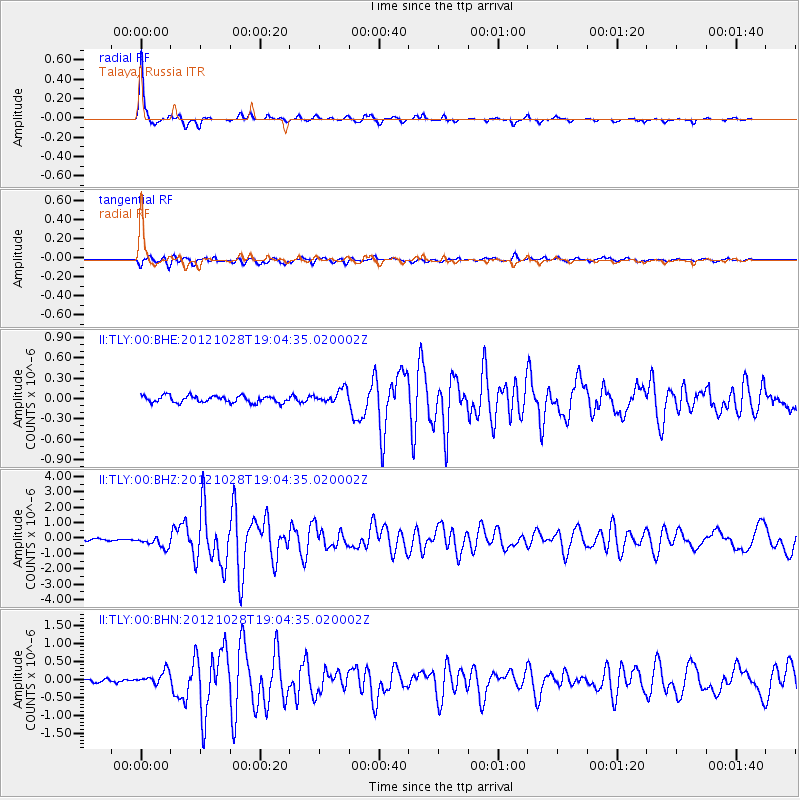
Earthquake location: Queen Charlotte Islands Region
Earthquake latitude/longitude: 52.7/-132.6
Earthquake time(UTC): 2012/10/28 (302) 18:54:20 GMT
Earthquake Depth: 9.0 km
Earthquake Magnitude: 5.9 MB, 6.2 MS, 6.3 MW, 6.3 MW
Earthquake Catalog/Contributor: WHDF/NEIC
Network: II Global Seismograph Network (GSN - IRIS/IDA)
Station: TLY Talaya, Russia
Lat/Lon: 51.68 N/103.64 E
Elevation: 579 m
Distance: 65.8 deg
Az: 325.419 deg
Baz: 33.717 deg
Ray Param: 0.058042694
Estimated Moho Depth: 41.75 km
Estimated Crust Vp/Vs: 1.95
Assumed Crust Vp: 6.419 km/s
Estimated Crust Vs: 3.296 km/s
Estimated Crust Poisson's Ratio: 0.32
Radial Match: 97.19878 %
Radial Bump: 293
Transverse Match: 92.963234 %
Transverse Bump: 400
SOD ConfigId: 478790
Insert Time: 2013-03-01 09:03:44.924 +0000
GWidth: 2.5
Max Bumps: 400
Tol: 0.001

Signal To Noise

ChannelStoNSTALTA
II:TLY:00:BHZ:20121028T19:04:35.020002Z6.4679863.601761E-75.5685977E-8
II:TLY:00:BHN:20121028T19:04:35.020002Z4.5152561.8952505E-74.1974378E-8
II:TLY:00:BHE:20121028T19:04:35.020002Z2.04096911.0195381E-74.9953627E-8
Arrivals
Ps6.4 SECOND
PpPs18 SECOND
PsPs/PpSs25 SECOND