O02D Mt. Diablo Meridian, CA, USA - Earthquake Result Viewer
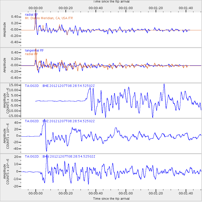
Earthquake location: Off East Coast Of Honshu, Japan
Earthquake latitude/longitude: 37.9/143.9
Earthquake time(UTC): 2012/12/07 (342) 08:18:23 GMT
Earthquake Depth: 31 km
Earthquake Magnitude: 7.2 MB, 7.3 MS, 7.3 MW, 7.3 MW
Earthquake Catalog/Contributor: WHDF/NEIC
Network: TA USArray Transportable Network (new EarthScope stations)
Station: O02D Mt. Diablo Meridian, CA, USA
Lat/Lon: 40.18 N/122.79 W
Elevation: 965 m
Distance: 69.0 deg
Az: 55.027 deg
Baz: 302.205 deg
Ray Param: 0.05589604
Estimated Moho Depth: 68.25 km
Estimated Crust Vp/Vs: 1.67
Assumed Crust Vp: 6.566 km/s
Estimated Crust Vs: 3.932 km/s
Estimated Crust Poisson's Ratio: 0.22
Radial Match: 96.28762 %
Radial Bump: 400
Transverse Match: 94.53096 %
Transverse Bump: 400
SOD ConfigId: 488671
Insert Time: 2013-03-29 04:28:21.782 +0000
GWidth: 2.5
Max Bumps: 400
Tol: 0.001

Signal To Noise

ChannelStoNSTALTA
TA:O02D: :BHZ:20121207T08:28:54.52502Z49.2530981.0698185E-52.1720837E-7
TA:O02D: :BHN:20121207T08:28:54.52502Z19.405272.8822283E-61.4852812E-7
TA:O02D: :BHE:20121207T08:28:54.52502Z13.4586732.2294307E-61.6565014E-7
Arrivals
Ps7.3 SECOND
PpPs27 SECOND
PsPs/PpSs34 SECOND