R42A Luebbering, MO, USA - Earthquake Result Viewer
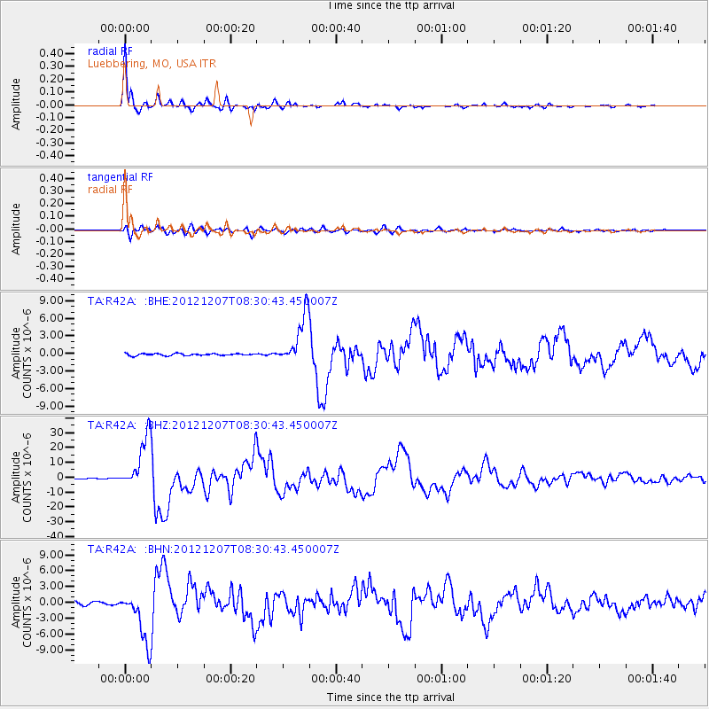
Earthquake location: Off East Coast Of Honshu, Japan
Earthquake latitude/longitude: 37.9/143.9
Earthquake time(UTC): 2012/12/07 (342) 08:18:23 GMT
Earthquake Depth: 31 km
Earthquake Magnitude: 7.2 MB, 7.3 MS, 7.3 MW, 7.3 MW
Earthquake Catalog/Contributor: WHDF/NEIC
Network: TA USArray Transportable Network (new EarthScope stations)
Station: R42A Luebbering, MO, USA
Lat/Lon: 38.28 N/90.79 W
Elevation: 218 m
Distance: 89.0 deg
Az: 39.997 deg
Baz: 319.747 deg
Ray Param: 0.042150002
Estimated Moho Depth: 10.0 km
Estimated Crust Vp/Vs: 1.66
Assumed Crust Vp: 6.498 km/s
Estimated Crust Vs: 3.914 km/s
Estimated Crust Poisson's Ratio: 0.22
Radial Match: 98.94546 %
Radial Bump: 290
Transverse Match: 93.0784 %
Transverse Bump: 400
SOD ConfigId: 488671
Insert Time: 2013-03-29 04:36:14.395 +0000
GWidth: 2.5
Max Bumps: 400
Tol: 0.001

Signal To Noise

ChannelStoNSTALTA
TA:R42A: :BHZ:20121207T08:30:43.450007Z100.208371.7865637E-51.7828489E-7
TA:R42A: :BHN:20121207T08:30:43.450007Z20.1316854.8829243E-62.425492E-7
TA:R42A: :BHE:20121207T08:30:43.450007Z25.4068164.281254E-61.6850808E-7
Arrivals
Ps1.0 SECOND
PpPs4.0 SECOND
PsPs/PpSs5.0 SECOND