W46A Michie, TN, USA - Earthquake Result Viewer
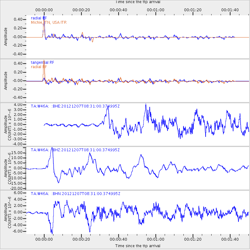
Earthquake location: Off East Coast Of Honshu, Japan
Earthquake latitude/longitude: 37.9/143.9
Earthquake time(UTC): 2012/12/07 (342) 08:18:23 GMT
Earthquake Depth: 31 km
Earthquake Magnitude: 7.2 MB, 7.3 MS, 7.3 MW, 7.3 MW
Earthquake Catalog/Contributor: WHDF/NEIC
Network: TA USArray Transportable Network (new EarthScope stations)
Station: W46A Michie, TN, USA
Lat/Lon: 35.13 N/88.38 W
Elevation: 145 m
Distance: 92.6 deg
Az: 40.499 deg
Baz: 321.178 deg
Ray Param: 0.04140988
Estimated Moho Depth: 48.0 km
Estimated Crust Vp/Vs: 1.77
Assumed Crust Vp: 6.38 km/s
Estimated Crust Vs: 3.6 km/s
Estimated Crust Poisson's Ratio: 0.27
Radial Match: 97.337425 %
Radial Bump: 366
Transverse Match: 90.38417 %
Transverse Bump: 400
SOD ConfigId: 488671
Insert Time: 2013-03-29 04:44:46.022 +0000
GWidth: 2.5
Max Bumps: 400
Tol: 0.001

Signal To Noise

ChannelStoNSTALTA
TA:W46A: :BHZ:20121207T08:31:00.374995Z50.895751.0103204E-51.9850782E-7
TA:W46A: :BHN:20121207T08:31:00.374995Z13.2727053.0512088E-62.2988596E-7
TA:W46A: :BHE:20121207T08:31:00.374995Z11.826311.7936253E-61.5166398E-7
Arrivals
Ps5.9 SECOND
PpPs20 SECOND
PsPs/PpSs26 SECOND