F49A Sandfield, ON, CAN - Earthquake Result Viewer
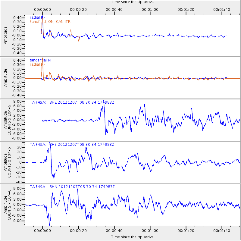
Earthquake location: Off East Coast Of Honshu, Japan
Earthquake latitude/longitude: 37.9/143.9
Earthquake time(UTC): 2012/12/07 (342) 08:18:23 GMT
Earthquake Depth: 31 km
Earthquake Magnitude: 7.2 MB, 7.3 MS, 7.3 MW, 7.3 MW
Earthquake Catalog/Contributor: WHDF/NEIC
Network: TA USArray Transportable Network (new EarthScope stations)
Station: F49A Sandfield, ON, CAN
Lat/Lon: 45.76 N/82.04 W
Elevation: 230 m
Distance: 87.0 deg
Az: 30.276 deg
Baz: 325.263 deg
Ray Param: 0.043585423
Estimated Moho Depth: 34.5 km
Estimated Crust Vp/Vs: 1.75
Assumed Crust Vp: 6.483 km/s
Estimated Crust Vs: 3.699 km/s
Estimated Crust Poisson's Ratio: 0.26
Radial Match: 98.43093 %
Radial Bump: 298
Transverse Match: 86.700516 %
Transverse Bump: 400
SOD ConfigId: 488671
Insert Time: 2013-03-29 04:56:29.407 +0000
GWidth: 2.5
Max Bumps: 400
Tol: 0.001

Signal To Noise

ChannelStoNSTALTA
TA:F49A: :BHZ:20121207T08:30:34.174983Z60.4605981.9009572E-53.1441257E-7
TA:F49A: :BHN:20121207T08:30:34.174983Z28.5196534.9968967E-61.752089E-7
TA:F49A: :BHE:20121207T08:30:34.174983Z15.11428453.816565E-62.525138E-7
Arrivals
Ps4.1 SECOND
PpPs14 SECOND
PsPs/PpSs18 SECOND