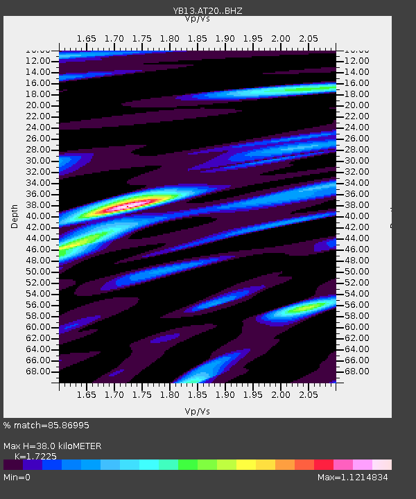
AT20 Kirkpinar,Kersehir,Turkey - Earthquake Result Viewer

Earthquake location: Rat Islands, Aleutian Islands
Earthquake latitude/longitude: 52.3/176.7
Earthquake time(UTC): 2014/06/24 (175) 03:15:36 GMT
Earthquake Depth: 4.0 km
Earthquake Magnitude: 6.3 MWB, 5.7 ML, 6.4 MWC, 6.6 MI
Earthquake Catalog/Contributor: NEIC PDE/NEIC COMCAT
Network: YB Continental Dynamics/Cent. Anatolian Tectonics:Surface to Mantle Dynamics During
Station: AT20 Kirkpinar,Kersehir,Turkey
Lat/Lon: 39.36 N/34.16 E
Elevation: 1235 m
Distance: 83.1 deg
Az: 331.659 deg
Baz: 22.114 deg
Ray Param: 0.0464262
Estimated Moho Depth: 38.0 km
Estimated Crust Vp/Vs: 1.72
Assumed Crust Vp: 6.35 km/s
Estimated Crust Vs: 3.687 km/s
Estimated Crust Poisson's Ratio: 0.25
Radial Match: 85.86995 %
Radial Bump: 400
Transverse Match: 70.51141 %
Transverse Bump: 400
SOD ConfigId: 3390531
Insert Time: 2019-04-12 12:27:12.679 +0000
GWidth: 2.5
Max Bumps: 400
Tol: 0.001

Signal To Noise

ChannelStoNSTALTA
YB:AT20: :BHZ:20140624T03:27:32.58001Z3.94887112.2299363E-75.647022E-8
YB:AT20: :BHN:20140624T03:27:32.58001Z1.88776831.13898956E-76.0335246E-8
YB:AT20: :BHE:20140624T03:27:32.58001Z0.76256116.304591E-88.2676536E-8
Arrivals
Ps4.4 SECOND
PpPs16 SECOND
PsPs/PpSs20 SECOND