BGCA Bogoin, Central African Republic - Earthquake Result Viewer
Earthquake location: Peru-Bolivia Border Region
Earthquake latitude/longitude: -17.5/-69.7
Earthquake time(UTC): 1994/12/12 (346) 07:41:55 GMT
Earthquake Depth: 151 km
Earthquake Magnitude: 5.8 MB, 6.1 UNKNOWN, 6.3 MW
Earthquake Catalog/Contributor: WHDF/NEIC
Network: GT Global Telemetered Seismograph Network (USAF/USGS)
Station: BGCA Bogoin, Central African Republic
Lat/Lon: 5.18 N/18.42 E
Elevation: 676 m
Distance: 89.7 deg
Az: 84.518 deg
Baz: 252.505 deg
Ray Param: 0.041693922
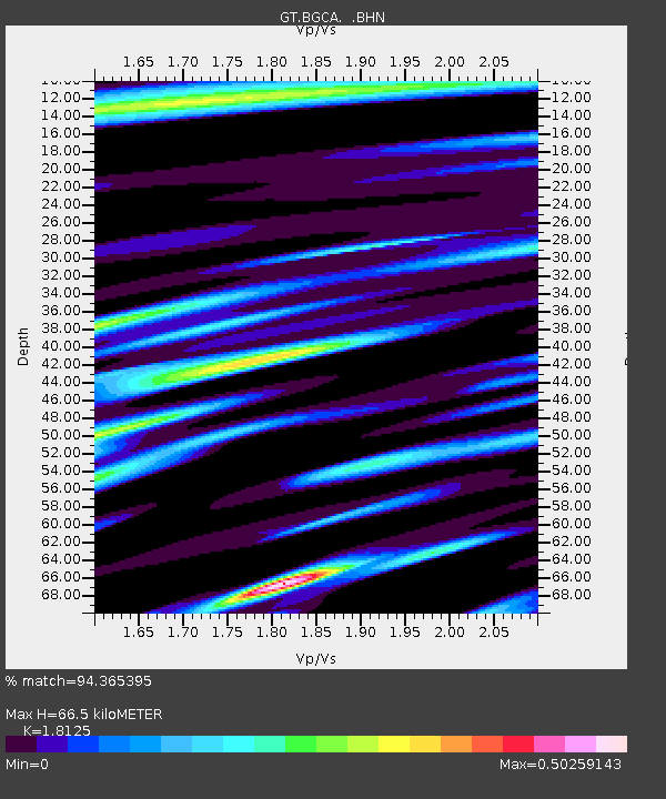
Estimated Moho Depth: 66.5 km
Estimated Crust Vp/Vs: 1.81
Assumed Crust Vp: 6.642 km/s
Estimated Crust Vs: 3.664 km/s
Estimated Crust Poisson's Ratio: 0.28
Radial Match: 94.365395 %
Radial Bump: 400
Transverse Match: 69.28391 %
Transverse Bump: 400
SOD ConfigId: 16938
Insert Time: 2010-02-27 01:37:38.808 +0000
GWidth: 2.5
Max Bumps: 400
Tol: 0.001

Signal To Noise

ChannelStoNSTALTA
GT:BGCA: :BHN:19941212T07:54:05.165015Z0.89889886.690182E-87.442642E-8
GT:BGCA: :BHE:19941212T07:54:05.165015Z1.85384939.6076896E-85.1825623E-8
GT:BGCA: :BHZ:19941212T07:54:05.165015Z4.805743.9106752E-78.137509E-8
Arrivals
Ps8.3 SECOND
PpPs28 SECOND
PsPs/PpSs36 SECOND