WRKA Warrakurna, Western Australia - Earthquake Result Viewer
Earthquake location: Santa Cruz Islands Region
Earthquake latitude/longitude: -11.7/164.9
Earthquake time(UTC): 2013/02/07 (038) 00:30:10 GMT
Earthquake Depth: 8.0 km
Earthquake Magnitude: 6.0 MB, 5.9 MS, 6.0 MW, 6.0 MW
Earthquake Catalog/Contributor: WHDF/NEIC
Network: AU Australian Seismological Centre
Station: WRKA Warrakurna, Western Australia
Lat/Lon: 25.04 S/128.30 E
Elevation: 622 m
Distance: 37.1 deg
Az: 243.819 deg
Baz: 75.731 deg
Ray Param: 0.07632127
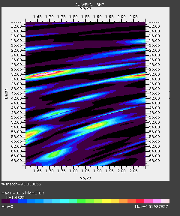
Estimated Moho Depth: 31.5 km
Estimated Crust Vp/Vs: 1.68
Assumed Crust Vp: 6.51 km/s
Estimated Crust Vs: 3.869 km/s
Estimated Crust Poisson's Ratio: 0.23
Radial Match: 93.833855 %
Radial Bump: 295
Transverse Match: 69.175934 %
Transverse Bump: 400
SOD ConfigId: 494114
Insert Time: 2013-05-01 08:12:01.122 +0000
GWidth: 2.5
Max Bumps: 400
Tol: 0.001

Signal To Noise

ChannelStoNSTALTA
AU:WRKA: :BHZ:20130207T00:36:50.795005Z26.556673.7154157E-61.3990518E-7
AU:WRKA: :BHN:20130207T00:36:50.795005Z4.825957.116088E-71.4745464E-7
AU:WRKA: :BHE:20130207T00:36:50.795005Z17.1194652.4779984E-61.4474742E-7
Arrivals
Ps3.6 SECOND
PpPs12 SECOND
PsPs/PpSs16 SECOND