You are here: Home > Network List > US - United States National Seismic Network Stations List
> Station LAO LASA Array, Montana, USA > Earthquake Result Viewer
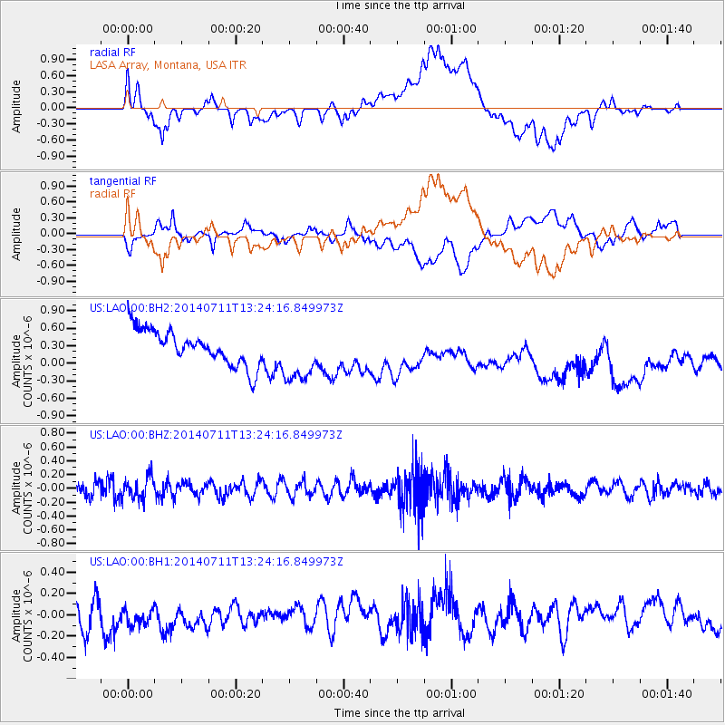
LAO LASA Array, Montana, USA - Earthquake Result Viewer
*The percent match for this event was below the threshold and hence no stack was calculated.
| Earthquake location: |
Northeast Of Taiwan |
| Earthquake latitude/longitude: |
26.3/125.8 |
| Earthquake time(UTC): |
2014/07/11 (192) 13:11:45 GMT |
| Earthquake Depth: |
116 km |
| Earthquake Magnitude: |
5.3 MW, 5.3 mb, 5.3 Mwb |
| Earthquake Catalog/Contributor: |
ISC/ISC |
|
| Network: |
US United States National Seismic Network |
| Station: |
LAO LASA Array, Montana, USA |
| Lat/Lon: |
46.69 N/106.22 W |
| Elevation: |
902 m |
|
| Distance: |
93.5 deg |
| Az: |
32.945 deg |
| Baz: |
314.84 deg |
| Ray Param: |
$rayparam |
*The percent match for this event was below the threshold and hence was not used in the summary stack. |
|
| Radial Match: |
38.32061 % |
| Radial Bump: |
400 |
| Transverse Match: |
38.64611 % |
| Transverse Bump: |
400 |
| SOD ConfigId: |
3390531 |
| Insert Time: |
2019-04-12 19:27:22.813 +0000 |
| GWidth: |
2.5 |
| Max Bumps: |
400 |
| Tol: |
0.001 |
|
Signal To Noise
| Channel | StoN | STA | LTA |
| US:LAO:00:BHZ:20140711T13:24:16.849973Z | 1.46553 | 1.6290139E-7 | 1.11155266E-7 |
| US:LAO:00:BH1:20140711T13:24:16.849973Z | 0.9604958 | 1.5216425E-7 | 1.5842261E-7 |
| US:LAO:00:BH2:20140711T13:24:16.849973Z | 1.6314554 | 4.9100896E-7 | 3.0096376E-7 |
| Arrivals |
| Ps | |
| PpPs | |
| PsPs/PpSs | |


