
LPAZ La Paz , Bolivia - Earthquake Result Viewer

| ||||||||||||||||||
| ||||||||||||||||||
| ||||||||||||||||||
|
Signal To Noise
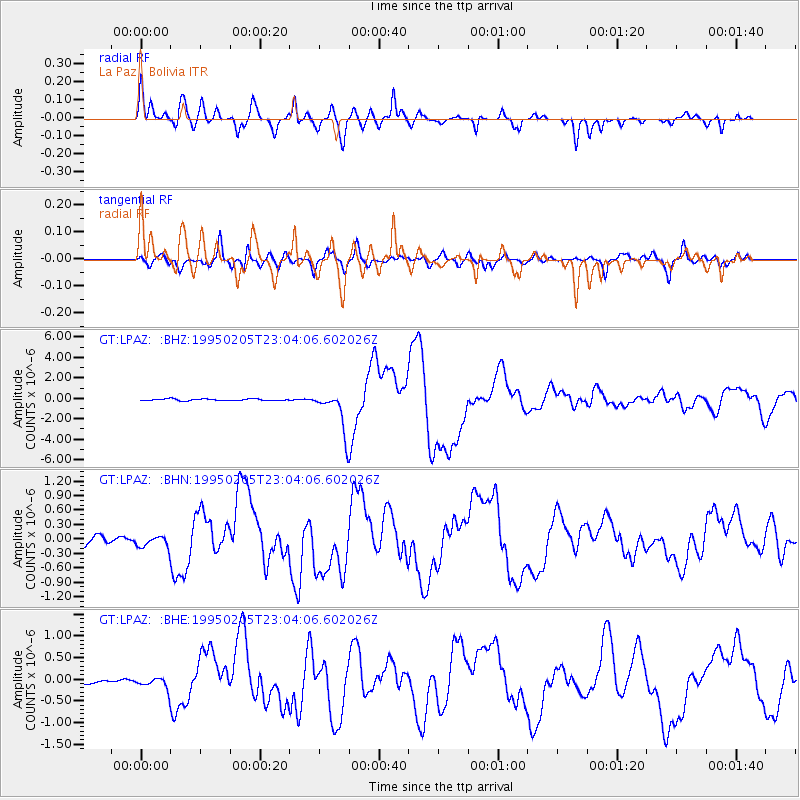
| Channel | StoN | STA | LTA |
| GT:LPAZ: :BHN:19950205T23:04:06.602026Z | 1.710486 | 1.2170598E-7 | 7.115286E-8 |
| GT:LPAZ: :BHE:19950205T23:04:06.602026Z | 1.4103364 | 1.346707E-7 | 9.548835E-8 |
| GT:LPAZ: :BHZ:19950205T23:04:06.602026Z | 12.105362 | 1.0128591E-6 | 8.367029E-8 |
| Arrivals | |
| Ps | 1.7 SECOND |
| PpPs | 7.2 SECOND |
| PsPs/PpSs | 9.0 SECOND |

