PLCA Paso Flores, Argentina - Earthquake Result Viewer
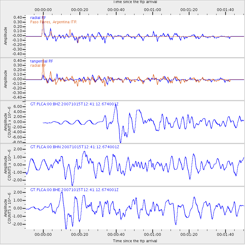
Earthquake location: South Island, New Zealand
Earthquake latitude/longitude: -44.8/167.6
Earthquake time(UTC): 2007/10/15 (288) 12:29:36 GMT
Earthquake Depth: 26 km
Earthquake Magnitude: 6.0 MB, 6.8 MS, 6.8 MW, 6.7 MW
Earthquake Catalog/Contributor: WHDF/NEIC
Network: GT Global Telemetered Seismograph Network (USAF/USGS)
Station: PLCA Paso Flores, Argentina
Lat/Lon: 40.73 S/70.55 W
Elevation: 1050 m
Distance: 80.2 deg
Az: 139.08 deg
Baz: 217.864 deg
Ray Param: 0.048426986
Estimated Moho Depth: 38.5 km
Estimated Crust Vp/Vs: 1.67
Assumed Crust Vp: 6.597 km/s
Estimated Crust Vs: 3.945 km/s
Estimated Crust Poisson's Ratio: 0.22
Radial Match: 87.459045 %
Radial Bump: 400
Transverse Match: 73.72148 %
Transverse Bump: 400
SOD ConfigId: 2564
Insert Time: 2010-02-27 02:14:14.052 +0000
GWidth: 2.5
Max Bumps: 400
Tol: 0.001

Signal To Noise

ChannelStoNSTALTA
GT:PLCA:00:BHN:20071015T12:41:12.674001Z1.06148614.4423726E-74.1850498E-7
GT:PLCA:00:BHE:20071015T12:41:12.674001Z1.47241383.0294427E-72.0574669E-7
GT:PLCA:00:BHZ:20071015T12:41:12.674001Z2.55758261.1607269E-64.538375E-7
Arrivals
Ps4.1 SECOND
PpPs15 SECOND
PsPs/PpSs19 SECOND