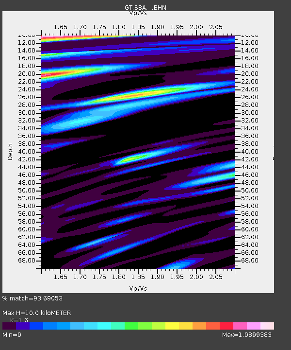
SBA Scott Base, Antarctica - Earthquake Result Viewer

Earthquake location: Kermadec Islands, New Zealand
Earthquake latitude/longitude: -30.5/-179.0
Earthquake time(UTC): 1998/07/09 (190) 14:45:39 GMT
Earthquake Depth: 130 km
Earthquake Magnitude: 6.2 MB, 6.2 MS, 6.9 UNKNOWN, 6.4 ME
Earthquake Catalog/Contributor: WHDF/NEIC
Network: GT Global Telemetered Seismograph Network (USAF/USGS)
Station: SBA Scott Base, Antarctica
Lat/Lon: 77.85 S/166.76 E
Elevation: 20 m
Distance: 47.9 deg
Az: 184.031 deg
Baz: 16.643 deg
Ray Param: 0.069262445
Estimated Moho Depth: 10.0 km
Estimated Crust Vp/Vs: 1.60
Assumed Crust Vp: 6.183 km/s
Estimated Crust Vs: 3.864 km/s
Estimated Crust Poisson's Ratio: 0.18
Radial Match: 93.69053 %
Radial Bump: 400
Transverse Match: 87.666885 %
Transverse Bump: 400
SOD ConfigId: 4480
Insert Time: 2010-02-27 02:19:17.038 +0000
GWidth: 2.5
Max Bumps: 400
Tol: 0.001

Signal To Noise

ChannelStoNSTALTA
GT:SBA: :BHN:19980709T14:53:34.353003Z9.972881.8949765E-61.9001297E-7
GT:SBA: :BHE:19980709T14:53:34.353003Z1.9696525.3695607E-72.7261467E-7
GT:SBA: :BHZ:19980709T14:53:34.353003Z0.467593852.3004107E-74.9196774E-7
Arrivals
Ps1.0 SECOND
PpPs4.0 SECOND
PsPs/PpSs5.0 SECOND