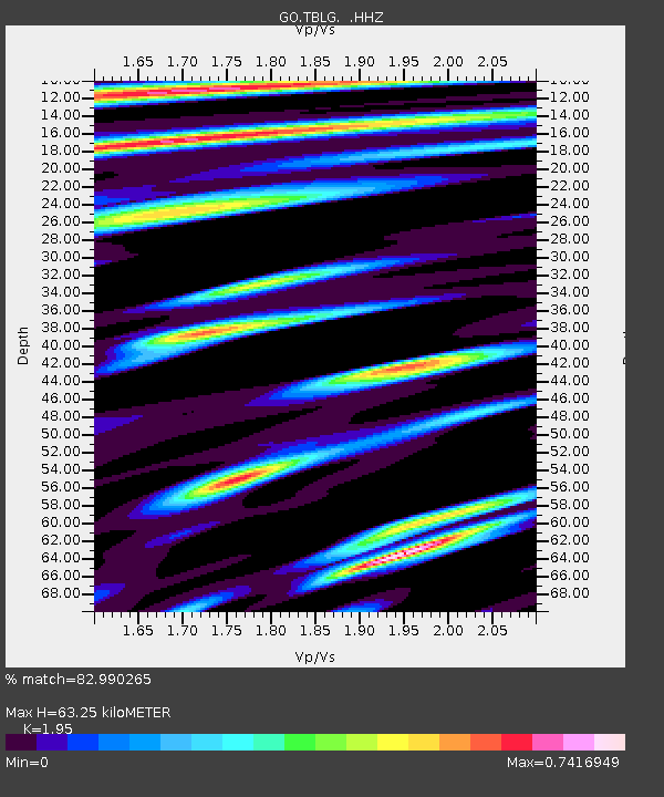
TBLG Delisi, Georgia - Earthquake Result Viewer

Earthquake location: Near S. Coast Of Western Honshu
Earthquake latitude/longitude: 34.4/134.8
Earthquake time(UTC): 2013/04/12 (102) 20:33:17 GMT
Earthquake Depth: 14 km
Earthquake Magnitude: 5.8 MW, 5.5 MS, 5.7 MB, 5.8 MW
Earthquake Catalog/Contributor: NEIC PDE/NEIC PDE-W
Network: GO National Seismic Network of Georgia
Station: TBLG Delisi, Georgia
Lat/Lon: 41.73 N/44.74 E
Elevation: 510 m
Distance: 68.2 deg
Az: 306.269 deg
Baz: 63.0 deg
Ray Param: 0.05646367
Estimated Moho Depth: 63.25 km
Estimated Crust Vp/Vs: 1.95
Assumed Crust Vp: 6.291 km/s
Estimated Crust Vs: 3.226 km/s
Estimated Crust Poisson's Ratio: 0.32
Radial Match: 82.990265 %
Radial Bump: 400
Transverse Match: 79.75269 %
Transverse Bump: 391
SOD ConfigId: 512894
Insert Time: 2013-09-13 05:27:48.540 +0000
GWidth: 2.5
Max Bumps: 400
Tol: 0.001

Signal To Noise

ChannelStoNSTALTA
GO:TBLG: :HHZ:20130412T20:43:46.06002Z8.4084875.926429E-77.048151E-8
GO:TBLG: :HHN:20130412T20:43:46.06002Z1.87522288.067667E-84.3022446E-8
GO:TBLG: :HHE:20130412T20:43:46.06002Z5.05815942.0105787E-73.9749217E-8
Arrivals
Ps9.9 SECOND
PpPs29 SECOND
PsPs/PpSs39 SECOND