GNI Garni, Armenia - Earthquake Result Viewer
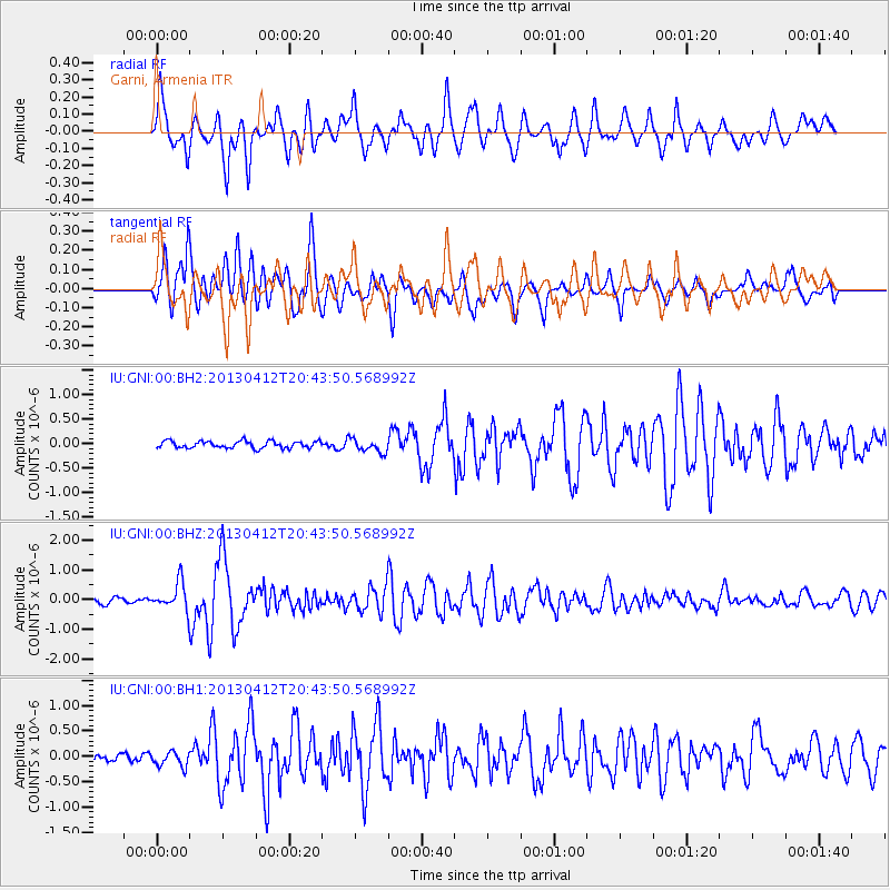
Earthquake location: Near S. Coast Of Western Honshu
Earthquake latitude/longitude: 34.4/134.8
Earthquake time(UTC): 2013/04/12 (102) 20:33:17 GMT
Earthquake Depth: 14 km
Earthquake Magnitude: 5.8 MW, 5.5 MS, 5.7 MB, 5.8 MW
Earthquake Catalog/Contributor: NEIC PDE/NEIC PDE-W
Network: IU Global Seismograph Network (GSN - IRIS/USGS)
Station: GNI Garni, Armenia
Lat/Lon: 40.15 N/44.74 E
Elevation: 1609 m
Distance: 68.9 deg
Az: 304.757 deg
Baz: 62.449 deg
Ray Param: 0.055990826
Estimated Moho Depth: 41.75 km
Estimated Crust Vp/Vs: 1.83
Assumed Crust Vp: 6.291 km/s
Estimated Crust Vs: 3.438 km/s
Estimated Crust Poisson's Ratio: 0.29
Radial Match: 86.85206 %
Radial Bump: 400
Transverse Match: 75.41494 %
Transverse Bump: 400
SOD ConfigId: 512894
Insert Time: 2013-09-13 05:30:43.513 +0000
GWidth: 2.5
Max Bumps: 400
Tol: 0.001

Signal To Noise

ChannelStoNSTALTA
IU:GNI:00:BHZ:20130412T20:43:50.568992Z4.96052744.524596E-79.1211994E-8
IU:GNI:00:BH1:20130412T20:43:50.568992Z2.62105561.5185424E-75.7936287E-8
IU:GNI:00:BH2:20130412T20:43:50.568992Z1.90972451.3552885E-77.096775E-8
Arrivals
Ps5.7 SECOND
PpPs18 SECOND
PsPs/PpSs24 SECOND