DL2 Dalian,Liaoning Province - Earthquake Result Viewer
Earthquake location: Near N Coast Of New Guinea, P.N.G.
Earthquake latitude/longitude: -3.2/142.5
Earthquake time(UTC): 2013/04/16 (106) 22:55:26 GMT
Earthquake Depth: 13 km
Earthquake Magnitude: 6.6 MW, 6.1 MB, 6.3 MS, 6.5 MW
Earthquake Catalog/Contributor: NEIC PDE/NEIC PDE-W
Network: CB China National Seismic Network
Station: DL2 Dalian,Liaoning Province
Lat/Lon: 38.91 N/121.63 E
Elevation: 65 m
Distance: 46.1 deg
Az: 337.278 deg
Baz: 150.377 deg
Ray Param: 0.07081964
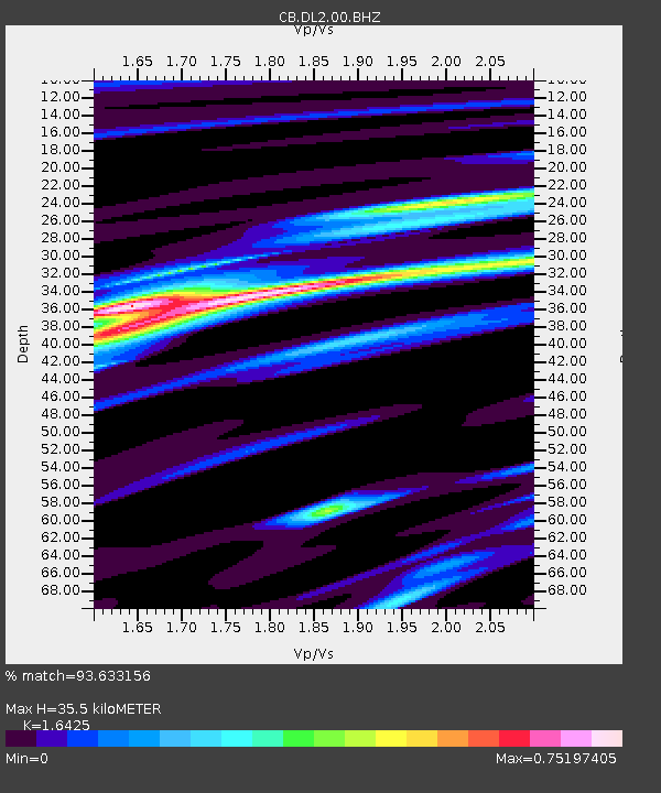
Estimated Moho Depth: 35.5 km
Estimated Crust Vp/Vs: 1.64
Assumed Crust Vp: 6.134 km/s
Estimated Crust Vs: 3.734 km/s
Estimated Crust Poisson's Ratio: 0.21
Radial Match: 93.633156 %
Radial Bump: 215
Transverse Match: 78.01843 %
Transverse Bump: 381
SOD ConfigId: 512894
Insert Time: 2013-09-13 07:34:26.169 +0000
GWidth: 2.5
Max Bumps: 400
Tol: 0.001

Signal To Noise

ChannelStoNSTALTA
CB:DL2:00:BHZ:20130416T23:03:19.789985Z15.9573332.9937576E-61.8761015E-7
CB:DL2:00:BHN:20130416T23:03:19.789985Z10.2053451.373266E-61.345634E-7
CB:DL2:00:BHE:20130416T23:03:19.789985Z8.0653328.977369E-71.1130811E-7
Arrivals
Ps4.0 SECOND
PpPs14 SECOND
PsPs/PpSs18 SECOND