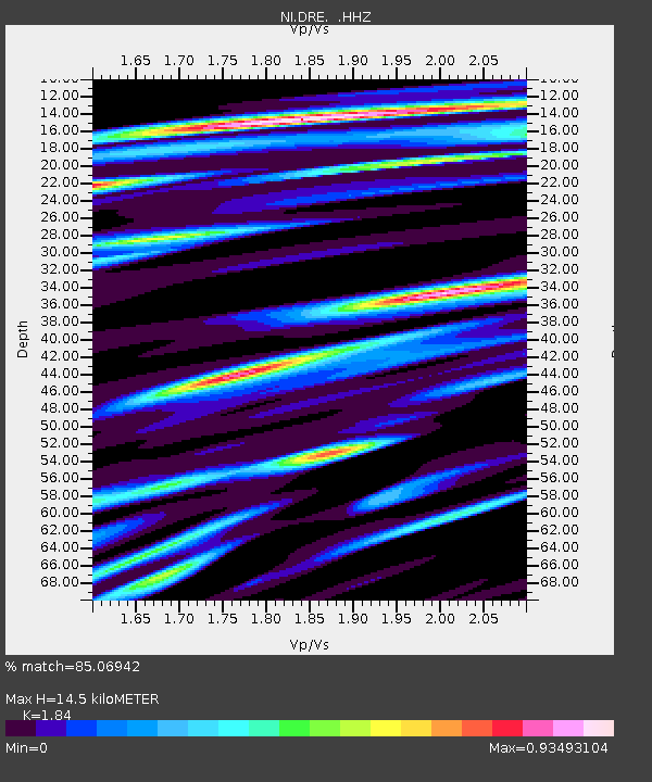
DRE Drenchia - Earthquake Result Viewer

Earthquake location: East Of Kuril Islands
Earthquake latitude/longitude: 50.0/157.7
Earthquake time(UTC): 2013/04/19 (109) 19:58:40 GMT
Earthquake Depth: 15 km
Earthquake Magnitude: 6.1 MW, 5.9 MB, 6.0 MW, 6.1 MS
Earthquake Catalog/Contributor: NEIC PDE/NEIC PDE-W
Network: NI North-East Italy Broadband Network
Station: DRE Drenchia
Lat/Lon: 46.17 N/13.65 E
Elevation: 810 m
Distance: 79.3 deg
Az: 335.441 deg
Baz: 22.722 deg
Ray Param: 0.049058396
Estimated Moho Depth: 14.5 km
Estimated Crust Vp/Vs: 1.84
Assumed Crust Vp: 6.35 km/s
Estimated Crust Vs: 3.451 km/s
Estimated Crust Poisson's Ratio: 0.29
Radial Match: 85.06942 %
Radial Bump: 400
Transverse Match: 82.03066 %
Transverse Bump: 400
SOD ConfigId: 512894
Insert Time: 2013-09-13 12:36:59.198 +0000
GWidth: 2.5
Max Bumps: 400
Tol: 0.001

Signal To Noise

ChannelStoNSTALTA
NI:DRE: :HHZ:20130419T20:10:13.557983Z25.5561142.0134125E-67.8783984E-8
NI:DRE: :HHN:20130419T20:10:13.557983Z5.75896.7006954E-71.1635373E-7
NI:DRE: :HHE:20130419T20:10:13.557983Z5.3839444.242219E-77.879389E-8
Arrivals
Ps2.0 SECOND
PpPs6.3 SECOND
PsPs/PpSs8.3 SECOND