You are here: Home > Network List > GS - US Geological Survey Networks Stations List
> Station KAN13 Rinehart Farm > Earthquake Result Viewer
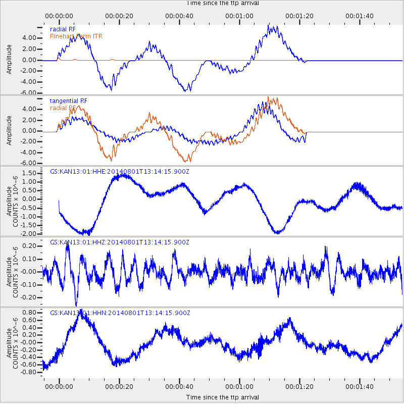
KAN13 Rinehart Farm - Earthquake Result Viewer
*The percent match for this event was below the threshold and hence no stack was calculated.
| Earthquake location: |
Tonga Islands |
| Earthquake latitude/longitude: |
-17.6/-173.6 |
| Earthquake time(UTC): |
2014/08/01 (213) 13:01:52 GMT |
| Earthquake Depth: |
39 km |
| Earthquake Magnitude: |
5.0 MW |
| Earthquake Catalog/Contributor: |
ISC/ISC |
|
| Network: |
GS US Geological Survey Networks |
| Station: |
KAN13 Rinehart Farm |
| Lat/Lon: |
37.01 N/97.48 W |
| Elevation: |
340 m |
|
| Distance: |
89.9 deg |
| Az: |
51.003 deg |
| Baz: |
247.822 deg |
| Ray Param: |
$rayparam |
*The percent match for this event was below the threshold and hence was not used in the summary stack. |
|
| Radial Match: |
66.78047 % |
| Radial Bump: |
400 |
| Transverse Match: |
68.93086 % |
| Transverse Bump: |
400 |
| SOD ConfigId: |
3390531 |
| Insert Time: |
2019-04-13 03:40:00.379 +0000 |
| GWidth: |
2.5 |
| Max Bumps: |
400 |
| Tol: |
0.001 |
|
Signal To Noise
| Channel | StoN | STA | LTA |
| GS:KAN13:01:HHZ:20140801T13:14:15.900Z | 1.828315 | 1.0624672E-7 | 5.8111826E-8 |
| GS:KAN13:01:HHN:20140801T13:14:15.900Z | 0.52488804 | 2.8664596E-7 | 5.4610877E-7 |
| GS:KAN13:01:HHE:20140801T13:14:15.900Z | 0.54918593 | 7.096126E-7 | 1.2921173E-6 |
| Arrivals |
| Ps | |
| PpPs | |
| PsPs/PpSs | |


