PMNB Patos de Minas, MG - Earthquake Result Viewer
Earthquake location: Southern Mid-Atlantic Ridge
Earthquake latitude/longitude: -57.5/-6.8
Earthquake time(UTC): 2013/05/16 (136) 05:57:00 GMT
Earthquake Depth: 10 km
Earthquake Magnitude: 5.7 MW, 5.5 MS, 5.6 MW, 5.7 MB
Earthquake Catalog/Contributor: NEIC PDE/NEIC PDE-W
Network: BL Brazilian Lithospheric Seismic Project (BLSP)
Station: PMNB Patos de Minas, MG
Lat/Lon: 18.54 S/46.44 W
Elevation: 950 m
Distance: 48.7 deg
Az: 306.291 deg
Baz: 152.709 deg
Ray Param: 0.06920559
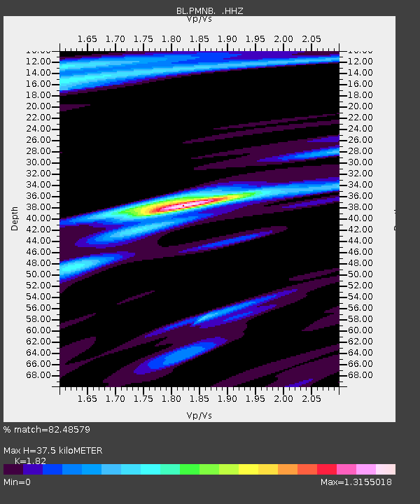
Estimated Moho Depth: 37.5 km
Estimated Crust Vp/Vs: 1.82
Assumed Crust Vp: 6.419 km/s
Estimated Crust Vs: 3.527 km/s
Estimated Crust Poisson's Ratio: 0.28
Radial Match: 82.48579 %
Radial Bump: 318
Transverse Match: 51.06821 %
Transverse Bump: 400
SOD ConfigId: 512894
Insert Time: 2013-09-14 06:01:31.649 +0000
GWidth: 2.5
Max Bumps: 400
Tol: 0.001

Signal To Noise

ChannelStoNSTALTA
BL:PMNB: :HHZ:20130516T06:05:13.940011Z5.2278389.133707E-71.747129E-7
BL:PMNB: :HHN:20130516T06:05:13.940011Z3.97016745.3299584E-71.3425021E-7
BL:PMNB: :HHE:20130516T06:05:13.940011Z2.65152243.7102697E-71.399298E-7
Arrivals
Ps5.1 SECOND
PpPs16 SECOND
PsPs/PpSs21 SECOND