GARM Garm, Tajikistan - Earthquake Result Viewer
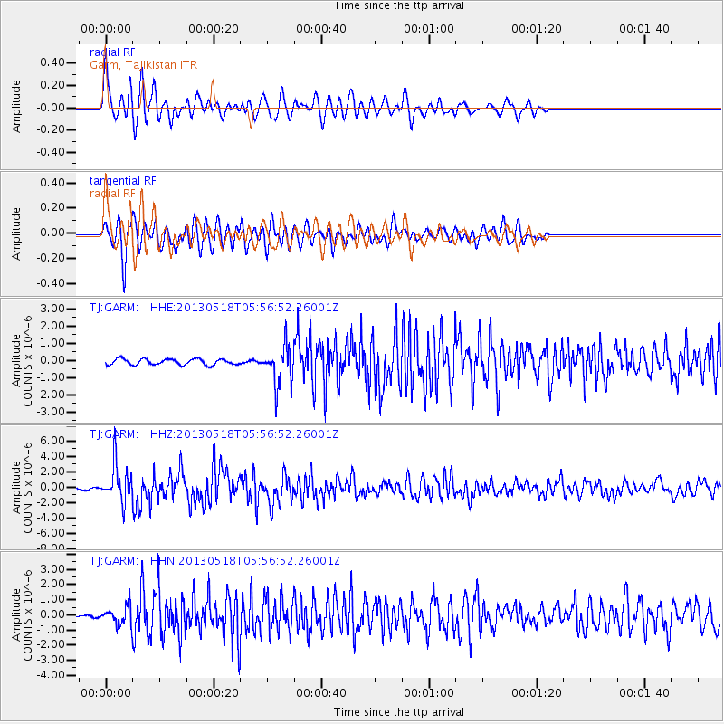
Earthquake location: Near East Coast Of Honshu, Japan
Earthquake latitude/longitude: 37.7/141.5
Earthquake time(UTC): 2013/05/18 (138) 05:47:59 GMT
Earthquake Depth: 39 km
Earthquake Magnitude: 6.0 MW, 5.5 MS, 6.0 MW, 6.1 MB
Earthquake Catalog/Contributor: NEIC PDE/NEIC PDE-W
Network: TJ Tajikistan National Seismic Network
Station: GARM Garm, Tajikistan
Lat/Lon: 39.00 N/70.32 E
Elevation: 1305 m
Distance: 54.4 deg
Az: 294.976 deg
Baz: 67.263 deg
Ray Param: 0.0653693
Estimated Moho Depth: 20.5 km
Estimated Crust Vp/Vs: 1.93
Assumed Crust Vp: 6.306 km/s
Estimated Crust Vs: 3.272 km/s
Estimated Crust Poisson's Ratio: 0.32
Radial Match: 86.98017 %
Radial Bump: 400
Transverse Match: 80.14114 %
Transverse Bump: 400
SOD ConfigId: 512894
Insert Time: 2013-09-14 07:13:42.990 +0000
GWidth: 2.5
Max Bumps: 400
Tol: 0.001

Signal To Noise

ChannelStoNSTALTA
TJ:GARM: :HHZ:20130518T05:56:52.26001Z28.1815052.4142323E-68.566725E-8
TJ:GARM: :HHN:20130518T05:56:52.26001Z6.0539246.137876E-71.0138673E-7
TJ:GARM: :HHE:20130518T05:56:52.26001Z6.5652241.0970494E-61.6710007E-7
Arrivals
Ps3.2 SECOND
PpPs9.1 SECOND
PsPs/PpSs12 SECOND