BALB Balikesir-Turkiye - Earthquake Result Viewer
Earthquake location: Off East Coast Of Kamchatka
Earthquake latitude/longitude: 52.3/160.1
Earthquake time(UTC): 2013/05/19 (139) 18:44:10 GMT
Earthquake Depth: 18 km
Earthquake Magnitude: 6.1 MW, 5.8 MS, 5.9 MB, 5.9 MW
Earthquake Catalog/Contributor: NEIC PDE/NEIC PDE-W
Network: KO Kandilli Observatory Digital Broadband Seismic Network
Station: BALB Balikesir-Turkiye
Lat/Lon: 39.64 N/27.88 E
Elevation: 120 m
Distance: 79.4 deg
Az: 324.405 deg
Baz: 27.548 deg
Ray Param: 0.04895904
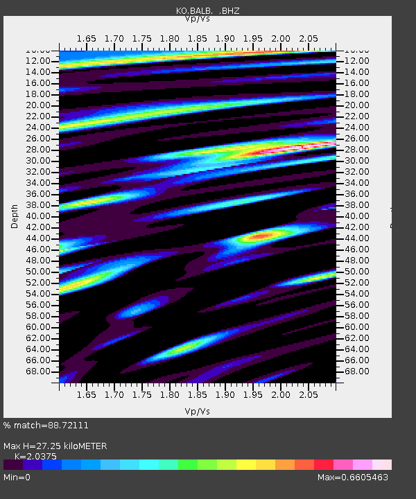
Estimated Moho Depth: 27.25 km
Estimated Crust Vp/Vs: 2.04
Assumed Crust Vp: 6.155 km/s
Estimated Crust Vs: 3.021 km/s
Estimated Crust Poisson's Ratio: 0.34
Radial Match: 88.72111 %
Radial Bump: 400
Transverse Match: 74.798386 %
Transverse Bump: 400
SOD ConfigId: 512894
Insert Time: 2013-09-14 08:44:43.958 +0000
GWidth: 2.5
Max Bumps: 400
Tol: 0.001

Signal To Noise

ChannelStoNSTALTA
KO:BALB: :BHZ:20130519T18:55:44.580005Z38.0561526.1816154E-61.6243405E-7
KO:BALB: :BHN:20130519T18:55:44.580005Z10.9683631.5236569E-61.3891379E-7
KO:BALB: :BHE:20130519T18:55:44.580005Z9.2455281.2687681E-61.3723046E-7
Arrivals
Ps4.7 SECOND
PpPs13 SECOND
PsPs/PpSs18 SECOND