TSK Tsukuba, Japan - Earthquake Result Viewer
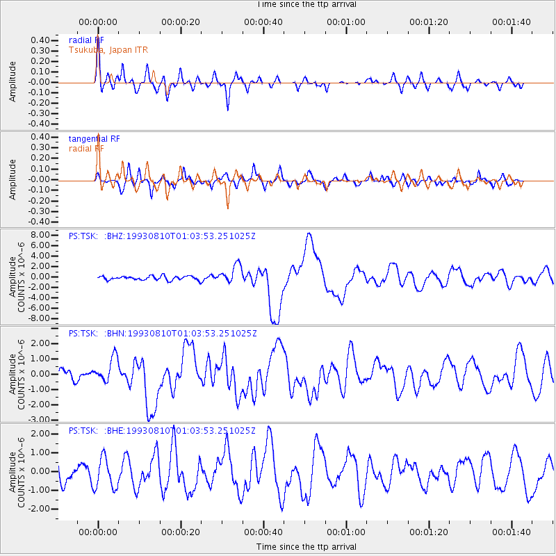
Earthquake location: Off W. Coast Of S. Island, N.Z.
Earthquake latitude/longitude: -45.1/167.0
Earthquake time(UTC): 1993/08/10 (222) 00:51:54 GMT
Earthquake Depth: 33 km
Earthquake Magnitude: 6.2 MB, 7.1 MS, 7.1 UNKNOWN, 7.0 MW
Earthquake Catalog/Contributor: WHDF/NEIC
Network: PS Pacific21
Station: TSK Tsukuba, Japan
Lat/Lon: 36.21 N/140.11 E
Elevation: 350 m
Distance: 84.5 deg
Az: 338.478 deg
Baz: 161.273 deg
Ray Param: 0.045367222
Estimated Moho Depth: 25.0 km
Estimated Crust Vp/Vs: 2.10
Assumed Crust Vp: 6.24 km/s
Estimated Crust Vs: 2.975 km/s
Estimated Crust Poisson's Ratio: 0.35
Radial Match: 86.29904 %
Radial Bump: 400
Transverse Match: 69.421364 %
Transverse Bump: 400
SOD ConfigId: 16938
Insert Time: 2010-02-27 03:51:19.490 +0000
GWidth: 2.5
Max Bumps: 400
Tol: 0.001

Signal To Noise

ChannelStoNSTALTA
PS:TSK: :BHN:19930810T01:03:53.251025Z1.31905088.5802805E-76.50489E-7
PS:TSK: :BHE:19930810T01:03:53.251025Z1.5658038.22478E-75.252755E-7
PS:TSK: :BHZ:19930810T01:03:53.251025Z4.80010031.827101E-63.8063806E-7
Arrivals
Ps4.5 SECOND
PpPs12 SECOND
PsPs/PpSs17 SECOND