GNW Green Mountain (BB) - Earthquake Result Viewer
Earthquake location: Eastern New Guinea Reg., P.N.G.
Earthquake latitude/longitude: -6.0/146.6
Earthquake time(UTC): 2008/01/24 (024) 22:29:53 GMT
Earthquake Depth: 35 km
Earthquake Magnitude: 6.0 MB, 5.5 MS, 5.9 MW, 5.8 MW
Earthquake Catalog/Contributor: WHDF/NEIC
Network: UW Pacific Northwest Regional Seismic Network
Station: GNW Green Mountain (BB)
Lat/Lon: 47.56 N/122.83 W
Elevation: 160 m
Distance: 94.8 deg
Az: 42.809 deg
Baz: 266.345 deg
Ray Param: 0.040942267
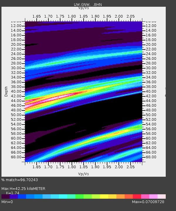
Estimated Moho Depth: 42.25 km
Estimated Crust Vp/Vs: 1.74
Assumed Crust Vp: 6.566 km/s
Estimated Crust Vs: 3.774 km/s
Estimated Crust Poisson's Ratio: 0.25
Radial Match: 96.70243 %
Radial Bump: 151
Transverse Match: 39.069786 %
Transverse Bump: 318
SOD ConfigId: 2564
Insert Time: 2010-02-27 04:19:20.120 +0000
GWidth: 2.5
Max Bumps: 400
Tol: 0.001

Signal To Noise

ChannelStoNSTALTA
UW:GNW: :BHN:20080124T22:42:39.645022Z1.21623472.3337707E-71.918849E-7
UW:GNW: :BHE:20080124T22:42:39.645022Z1.75691123.1515916E-71.7938252E-7
UW:GNW: :BHZ:20080124T22:42:39.645022Z1.56433992.8365093E-71.813231E-7
Arrivals
Ps4.9 SECOND
PpPs17 SECOND
PsPs/PpSs22 SECOND