GNW Green Mountain (BB) - Earthquake Result Viewer
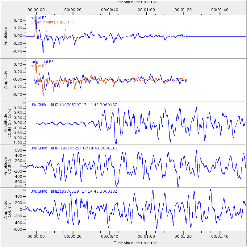
Earthquake location: Southern Pacific Ocean
Earthquake latitude/longitude: -36.0/-102.5
Earthquake time(UTC): 1997/05/29 (149) 17:02:38 GMT
Earthquake Depth: 10 km
Earthquake Magnitude: 5.6 MB, 6.1 MS, 6.5 UNKNOWN, 6.4 MW
Earthquake Catalog/Contributor: WHDF/NEIC
Network: UW Pacific Northwest Regional Seismic Network
Station: GNW Green Mountain (BB)
Lat/Lon: 47.56 N/122.83 W
Elevation: 160 m
Distance: 85.1 deg
Az: 346.351 deg
Baz: 163.581 deg
Ray Param: 0.044991244
Estimated Moho Depth: 20.0 km
Estimated Crust Vp/Vs: 1.65
Assumed Crust Vp: 6.566 km/s
Estimated Crust Vs: 3.98 km/s
Estimated Crust Poisson's Ratio: 0.21
Radial Match: 91.00642 %
Radial Bump: 369
Transverse Match: 80.599976 %
Transverse Bump: 400
SOD ConfigId: 6273
Insert Time: 2010-02-27 04:19:22.697 +0000
GWidth: 2.5
Max Bumps: 400
Tol: 0.001

Signal To Noise

ChannelStoNSTALTA
UW:GNW: :BHN:19970529T17:14:43.306018Z1.103895364.4378258.373127
UW:GNW: :BHE:19970529T17:14:43.306018Z0.627860735.2251956.103508
UW:GNW: :BHZ:19970529T17:14:43.306018Z2.6841068129.2258948.14484
Arrivals
Ps2.0 SECOND
PpPs7.9 SECOND
PsPs/PpSs9.9 SECOND