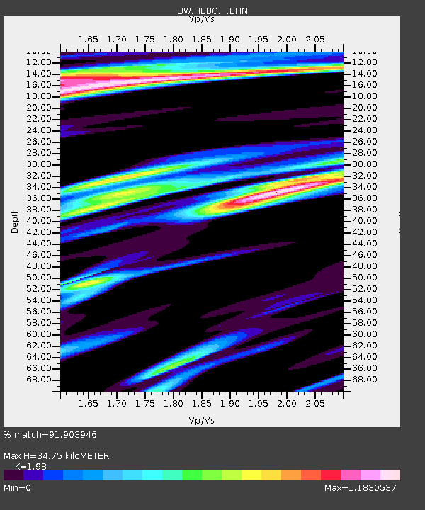
HEBO Mt. Hebo, OR CREST BB SMO - Earthquake Result Viewer

Earthquake location: Off Coast Of Jalisco, Mexico
Earthquake latitude/longitude: 17.6/-105.5
Earthquake time(UTC): 2008/09/24 (268) 02:33:05 GMT
Earthquake Depth: 10 km
Earthquake Magnitude: 5.7 MB, 6.2 MS, 6.4 MW, 6.4 MW
Earthquake Catalog/Contributor: WHDF/NEIC
Network: UW Pacific Northwest Regional Seismic Network
Station: HEBO Mt. Hebo, OR CREST BB SMO
Lat/Lon: 45.21 N/123.76 W
Elevation: 875 m
Distance: 31.5 deg
Az: 334.907 deg
Baz: 145.095 deg
Ray Param: 0.07906002
Estimated Moho Depth: 34.75 km
Estimated Crust Vp/Vs: 1.98
Assumed Crust Vp: 6.566 km/s
Estimated Crust Vs: 3.316 km/s
Estimated Crust Poisson's Ratio: 0.33
Radial Match: 91.903946 %
Radial Bump: 388
Transverse Match: 62.15207 %
Transverse Bump: 400
SOD ConfigId: 2560
Insert Time: 2010-02-27 04:21:59.483 +0000
GWidth: 2.5
Max Bumps: 400
Tol: 0.001

Signal To Noise

ChannelStoNSTALTA
UW:HEBO: :BHN:20080924T02:38:56.246001Z9.6161542.061642E-62.1439362E-7
UW:HEBO: :BHE:20080924T02:38:56.246001Z2.43067128.159025E-73.3566965E-7
UW:HEBO: :BHZ:20080924T02:38:56.246001Z2.40462149.847687E-74.095317E-7
Arrivals
Ps5.6 SECOND
PpPs15 SECOND
PsPs/PpSs20 SECOND