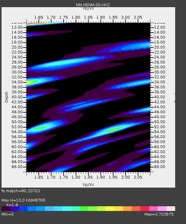
HENM Henderson Mound,MO - Earthquake Result Viewer

Earthquake location: Northern Mid-Atlantic Ridge
Earthquake latitude/longitude: 10.7/-42.6
Earthquake time(UTC): 2013/06/24 (175) 22:04:13 GMT
Earthquake Depth: 10 km
Earthquake Magnitude: 6.5 MW, 6.1 MB, 6.3 MS, 6.6 MW
Earthquake Catalog/Contributor: NEIC PDE/NEIC PDE-W
Network: NM Cooperative New Madrid Seismic Network
Station: HENM Henderson Mound,MO
Lat/Lon: 36.72 N/89.47 W
Elevation: 88 m
Distance: 49.5 deg
Az: 309.515 deg
Baz: 109.332 deg
Ray Param: 0.06867034
Estimated Moho Depth: 10.0 km
Estimated Crust Vp/Vs: 1.60
Assumed Crust Vp: 6.444 km/s
Estimated Crust Vs: 4.027 km/s
Estimated Crust Poisson's Ratio: 0.18
Radial Match: 90.20703 %
Radial Bump: 400
Transverse Match: 69.39149 %
Transverse Bump: 400
SOD ConfigId: 512894
Insert Time: 2013-09-15 09:28:57.270 +0000
GWidth: 2.5
Max Bumps: 400
Tol: 0.001

Signal To Noise

ChannelStoNSTALTA
NM:HENM:00:HHZ:20130624T22:12:32.944996Z5.3673151.9381978E-63.6111123E-7
NM:HENM:00:HHN:20130624T22:12:32.944996Z1.78387947.9112755E-74.434871E-7
NM:HENM:00:HHE:20130624T22:12:32.944996Z2.9571711.2278044E-64.1519561E-7
Arrivals
Ps1.0 SECOND
PpPs3.8 SECOND
PsPs/PpSs4.8 SECOND