LON Longmire (broad-band and DWWSSN) - Earthquake Result Viewer
Earthquake location: Off East Coast Of Honshu, Japan
Earthquake latitude/longitude: 38.1/144.9
Earthquake time(UTC): 2005/11/14 (318) 21:38:51 GMT
Earthquake Depth: 11 km
Earthquake Magnitude: 6.7 MB, 6.8 MS, 7.0 MW, 6.9 MW
Earthquake Catalog/Contributor: WHDF/NEIC
Network: UW Pacific Northwest Regional Seismic Network
Station: LON Longmire (broad-band and DWWSSN)
Lat/Lon: 46.75 N/121.81 W
Elevation: 850 m
Distance: 65.5 deg
Az: 48.986 deg
Baz: 300.044 deg
Ray Param: 0.0582437
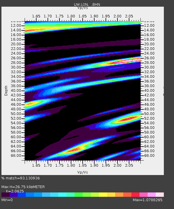
Estimated Moho Depth: 26.75 km
Estimated Crust Vp/Vs: 2.06
Assumed Crust Vp: 6.597 km/s
Estimated Crust Vs: 3.199 km/s
Estimated Crust Poisson's Ratio: 0.35
Radial Match: 93.130936 %
Radial Bump: 385
Transverse Match: 79.61961 %
Transverse Bump: 400
SOD ConfigId: 2422
Insert Time: 2010-02-27 04:43:24.366 +0000
GWidth: 2.5
Max Bumps: 400
Tol: 0.001

Signal To Noise

ChannelStoNSTALTA
UW:LON: :BHN:20051114T21:49:03.237017Z1.14008742.2943338E-72.0124193E-7
UW:LON: :BHE:20051114T21:49:03.237017Z5.5063065.9869484E-71.0872893E-7
UW:LON: :BHZ:20051114T21:49:03.237017Z8.3169111.6856368E-62.0267582E-7
Arrivals
Ps4.5 SECOND
PpPs12 SECOND
PsPs/PpSs16 SECOND