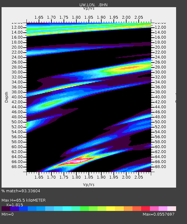
LON Longmire (broad-band and DWWSSN) - Earthquake Result Viewer

Earthquake location: Off East Coast Of Honshu, Japan
Earthquake latitude/longitude: 34.3/141.4
Earthquake time(UTC): 2004/05/29 (150) 20:56:09 GMT
Earthquake Depth: 16 km
Earthquake Magnitude: 5.6 MB, 6.6 MS, 6.5 MW, 6.3 MW
Earthquake Catalog/Contributor: WHDF/NEIC
Network: UW Pacific Northwest Regional Seismic Network
Station: LON Longmire (broad-band and DWWSSN)
Lat/Lon: 46.75 N/121.81 W
Elevation: 850 m
Distance: 70.2 deg
Az: 46.545 deg
Baz: 299.018 deg
Ray Param: 0.055158995
Estimated Moho Depth: 65.5 km
Estimated Crust Vp/Vs: 1.82
Assumed Crust Vp: 6.597 km/s
Estimated Crust Vs: 3.635 km/s
Estimated Crust Poisson's Ratio: 0.28
Radial Match: 93.33604 %
Radial Bump: 267
Transverse Match: 86.32541 %
Transverse Bump: 400
SOD ConfigId: 2459
Insert Time: 2010-02-27 04:45:33.810 +0000
GWidth: 2.5
Max Bumps: 400
Tol: 0.001

Signal To Noise

ChannelStoNSTALTA
UW:LON: :BHN:20040529T21:06:50.014001Z1.7926437105.6339558.926353
UW:LON: :BHE:20040529T21:06:50.014001Z1.7018707144.9621785.17814
UW:LON: :BHZ:20040529T21:06:50.014001Z4.721826224.9410147.638565
Arrivals
Ps8.4 SECOND
PpPs27 SECOND
PsPs/PpSs35 SECOND