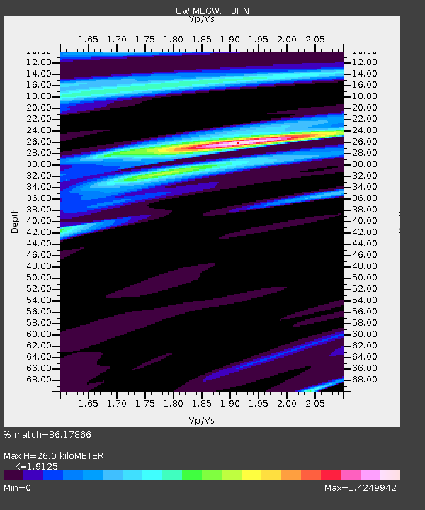
MEGW Megler, WA CREST BB SMO - Earthquake Result Viewer

Earthquake location: Near S. Coast Of Honshu, Japan
Earthquake latitude/longitude: 33.1/137.2
Earthquake time(UTC): 2004/09/08 (252) 14:58:25 GMT
Earthquake Depth: 21 km
Earthquake Magnitude: 6.2 MB, 5.8 MS, 6.2 MW, 6.1 MW
Earthquake Catalog/Contributor: WHDF/NEIC
Network: UW Pacific Northwest Regional Seismic Network
Station: MEGW Megler, WA CREST BB SMO
Lat/Lon: 46.27 N/123.88 W
Elevation: 332 m
Distance: 72.4 deg
Az: 45.956 deg
Baz: 299.618 deg
Ray Param: 0.05363295
Estimated Moho Depth: 26.0 km
Estimated Crust Vp/Vs: 1.91
Assumed Crust Vp: 6.566 km/s
Estimated Crust Vs: 3.433 km/s
Estimated Crust Poisson's Ratio: 0.31
Radial Match: 86.17866 %
Radial Bump: 400
Transverse Match: 67.60634 %
Transverse Bump: 400
SOD ConfigId: 2459
Insert Time: 2010-02-27 04:50:53.544 +0000
GWidth: 2.5
Max Bumps: 400
Tol: 0.001

Signal To Noise

ChannelStoNSTALTA
UW:MEGW: :BHN:20040908T15:09:19.366011Z0.76650137152.74706199.27826
UW:MEGW: :BHE:20040908T15:09:19.366011Z1.967036226.30205115.047226
UW:MEGW: :BHZ:20040908T15:09:19.366011Z16.451681206.971273.36462
Arrivals
Ps3.7 SECOND
PpPs11 SECOND
PsPs/PpSs15 SECOND