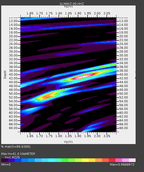
MAKZ Makanchi, Kazakhstan - Earthquake Result Viewer

Earthquake location: Irian Jaya Region, Indonesia
Earthquake latitude/longitude: -4.9/134.0
Earthquake time(UTC): 2012/10/12 (286) 00:31:28 GMT
Earthquake Depth: 13 km
Earthquake Magnitude: 6.5 MW, 6.3 MB, 6.6 MS, 6.6 MW
Earthquake Catalog/Contributor: NEIC PDE/NEIC PDE-W
Network: IU Global Seismograph Network (GSN - IRIS/USGS)
Station: MAKZ Makanchi, Kazakhstan
Lat/Lon: 46.81 N/81.98 E
Elevation: 600 m
Distance: 68.9 deg
Az: 324.52 deg
Baz: 122.651 deg
Ray Param: 0.055967692
Estimated Moho Depth: 41.0 km
Estimated Crust Vp/Vs: 1.92
Assumed Crust Vp: 6.571 km/s
Estimated Crust Vs: 3.418 km/s
Estimated Crust Poisson's Ratio: 0.31
Radial Match: 98.63881 %
Radial Bump: 319
Transverse Match: 89.02649 %
Transverse Bump: 400
SOD ConfigId: 558545
Insert Time: 2013-09-17 20:27:36.327 +0000
GWidth: 2.5
Max Bumps: 400
Tol: 0.001

Signal To Noise

ChannelStoNSTALTA
IU:MAKZ:00:HHZ:20121012T00:42:01.68803Z75.617843.0525318E-64.036788E-8
IU:MAKZ:00:HH1:20121012T00:42:01.68803Z14.765286.4749963E-74.3852854E-8
IU:MAKZ:00:HH2:20121012T00:42:01.68803Z20.6522641.0373265E-65.0228223E-8
Arrivals
Ps6.0 SECOND
PpPs18 SECOND
PsPs/PpSs24 SECOND