KONO Kongsberg, Norway - Earthquake Result Viewer
Earthquake location: Off East Coast Of Honshu, Japan
Earthquake latitude/longitude: 37.9/143.9
Earthquake time(UTC): 2012/12/07 (342) 08:18:23 GMT
Earthquake Depth: 31 km
Earthquake Magnitude: 7.2 MB, 7.3 MS, 7.3 MW, 7.3 MW
Earthquake Catalog/Contributor: WHDF/NEIC
Network: IU Global Seismograph Network (GSN - IRIS/USGS)
Station: KONO Kongsberg, Norway
Lat/Lon: 59.65 N/9.60 E
Elevation: 216 m
Distance: 75.8 deg
Az: 337.998 deg
Baz: 35.71 deg
Ray Param: 0.051408507
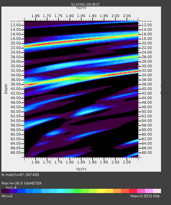
Estimated Moho Depth: 38.5 km
Estimated Crust Vp/Vs: 1.60
Assumed Crust Vp: 6.545 km/s
Estimated Crust Vs: 4.091 km/s
Estimated Crust Poisson's Ratio: 0.18
Radial Match: 97.367485 %
Radial Bump: 362
Transverse Match: 85.482376 %
Transverse Bump: 400
SOD ConfigId: 558545
Insert Time: 2013-09-18 01:16:00.600 +0000
GWidth: 2.5
Max Bumps: 400
Tol: 0.001

Signal To Noise

ChannelStoNSTALTA
IU:KONO:00:BHZ:20121207T08:29:34.768977Z12.2978481.24077105E-51.0089335E-6
IU:KONO:00:BH1:20121207T08:29:34.768977Z6.76229053.5639596E-65.270344E-7
IU:KONO:00:BH2:20121207T08:29:34.768977Z4.42820073.220948E-67.2737174E-7
Arrivals
Ps3.7 SECOND
PpPs15 SECOND
PsPs/PpSs18 SECOND