AML - - Earthquake Result Viewer
Earthquake location: Northern Mid-Atlantic Ridge
Earthquake latitude/longitude: 43.7/-28.5
Earthquake time(UTC): 2014/08/30 (242) 15:29:50 GMT
Earthquake Depth: 10 km
Earthquake Magnitude: 5.5 MW, 5.3 mb, 5.2 Ms_20, 5.4 Mwb, 5.5 Mwc
Earthquake Catalog/Contributor: ISC/ISC
Network: KN Kyrgyz Seismic Telemetry Network
Station: AML -
Lat/Lon: 42.13 N/73.69 E
Elevation: 3400 m
Distance: 69.8 deg
Az: 50.79 deg
Baz: 310.967 deg
Ray Param: 0.055438958
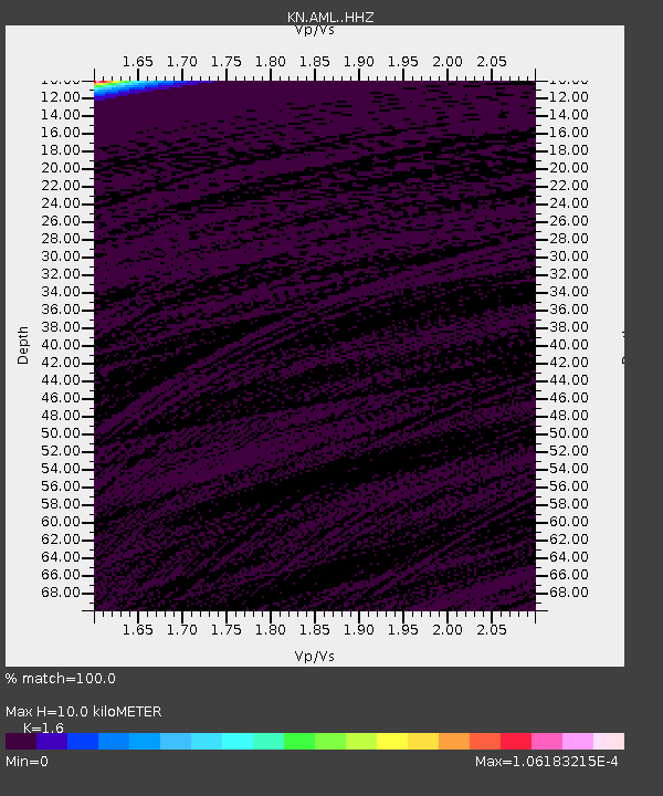
Estimated Moho Depth: 10.0 km
Estimated Crust Vp/Vs: 1.60
Assumed Crust Vp: 6.316 km/s
Estimated Crust Vs: 3.947 km/s
Estimated Crust Poisson's Ratio: 0.18
Radial Match: 100.0 %
Radial Bump: 2
Transverse Match: 100.0 %
Transverse Bump: 2
SOD ConfigId: 3390531
Insert Time: 2019-04-13 17:39:39.407 +0000
GWidth: 2.5
Max Bumps: 400
Tol: 0.001

Signal To Noise

ChannelStoNSTALTA
KN:AML: :HHZ:20140830T15:40:29.129973Z3.4453610.00276102648.013751E-4
KN:AML: :HHN:20140830T15:40:29.129973Z3.44533040.00276101878.0137997E-4
KN:AML: :HHE:20140830T15:40:29.129973Z3.44532970.00276101948.013803E-4
Arrivals
Ps1.0 SECOND
PpPs4.0 SECOND
PsPs/PpSs4.9 SECOND