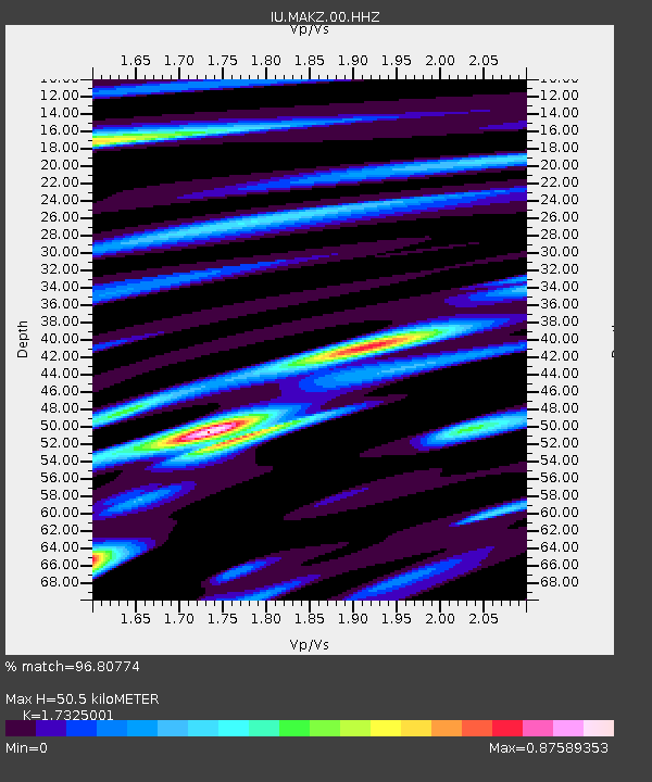
MAKZ Makanchi, Kazakhstan - Earthquake Result Viewer

Earthquake location: Near East Coast Of Honshu, Japan
Earthquake latitude/longitude: 35.7/141.6
Earthquake time(UTC): 2011/03/13 (072) 01:26:04 GMT
Earthquake Depth: 8.0 km
Earthquake Magnitude: 6.1 MW, 5.9 MB, 6.1 MW, 6.2 MS
Earthquake Catalog/Contributor: NEIC PDE/NEIC PDE-M
Network: IU Global Seismograph Network (GSN - IRIS/USGS)
Station: MAKZ Makanchi, Kazakhstan
Lat/Lon: 46.81 N/81.98 E
Elevation: 600 m
Distance: 45.2 deg
Az: 303.319 deg
Baz: 81.851 deg
Ray Param: 0.0714486
Estimated Moho Depth: 50.5 km
Estimated Crust Vp/Vs: 1.73
Assumed Crust Vp: 6.571 km/s
Estimated Crust Vs: 3.793 km/s
Estimated Crust Poisson's Ratio: 0.25
Radial Match: 96.80774 %
Radial Bump: 371
Transverse Match: 74.731514 %
Transverse Bump: 400
SOD ConfigId: 558545
Insert Time: 2013-09-18 13:37:44.533 +0000
GWidth: 2.5
Max Bumps: 400
Tol: 0.001

Signal To Noise

ChannelStoNSTALTA
IU:MAKZ:00:HHZ:20110313T01:33:50.608002Z46.8821532.5150557E-65.3646335E-8
IU:MAKZ:00:HH1:20110313T01:33:50.608002Z4.9907033.0411053E-76.0935406E-8
IU:MAKZ:00:HH2:20110313T01:33:50.608002Z17.3165871.2796561E-67.389771E-8
Arrivals
Ps6.0 SECOND
PpPs20 SECOND
PsPs/PpSs26 SECOND