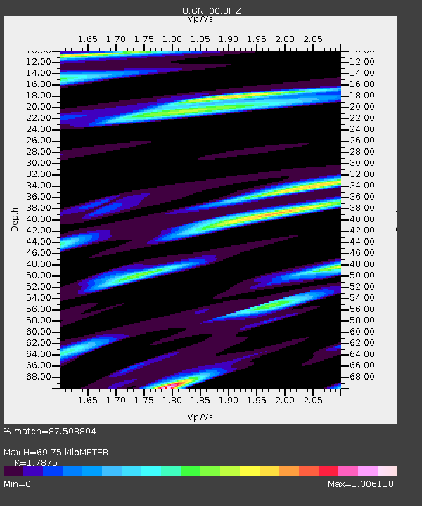
GNI Garni, Armenia - Earthquake Result Viewer

Earthquake location: Near East Coast Of Honshu, Japan
Earthquake latitude/longitude: 39.7/142.9
Earthquake time(UTC): 2011/03/19 (078) 01:22:44 GMT
Earthquake Depth: 15 km
Earthquake Magnitude: 5.8 MB, 5.6 MS, 5.9 MW, 5.9 MW
Earthquake Catalog/Contributor: WHDF/NEIC
Network: IU Global Seismograph Network (GSN - IRIS/USGS)
Station: GNI Garni, Armenia
Lat/Lon: 40.15 N/44.74 E
Elevation: 1609 m
Distance: 71.1 deg
Az: 306.661 deg
Baz: 53.848 deg
Ray Param: 0.054561347
Estimated Moho Depth: 69.75 km
Estimated Crust Vp/Vs: 1.79
Assumed Crust Vp: 6.291 km/s
Estimated Crust Vs: 3.519 km/s
Estimated Crust Poisson's Ratio: 0.27
Radial Match: 87.508804 %
Radial Bump: 400
Transverse Match: 80.519455 %
Transverse Bump: 400
SOD ConfigId: 558545
Insert Time: 2013-09-18 14:18:46.969 +0000
GWidth: 2.5
Max Bumps: 400
Tol: 0.001

Signal To Noise

ChannelStoNSTALTA
IU:GNI:00:BHZ:20110319T01:33:30.868979Z19.6614281.2004185E-66.105449E-8
IU:GNI:00:BH1:20110319T01:33:30.868979Z3.41566753.2194072E-79.425411E-8
IU:GNI:00:BH2:20110319T01:33:30.868979Z3.25022243.1452316E-79.676973E-8
Arrivals
Ps9.0 SECOND
PpPs30 SECOND
PsPs/PpSs39 SECOND