HAWA Hanford, Washington, USA - Earthquake Result Viewer
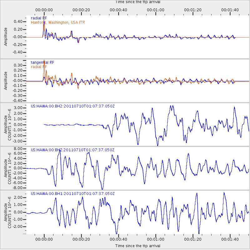
Earthquake location: Off East Coast Of Honshu, Japan
Earthquake latitude/longitude: 38.0/143.3
Earthquake time(UTC): 2011/07/10 (191) 00:57:10 GMT
Earthquake Depth: 23 km
Earthquake Magnitude: 6.6 MB, 7.0 MS, 7.0 MW, 7.0 MW
Earthquake Catalog/Contributor: WHDF/NEIC
Network: US United States National Seismic Network
Station: HAWA Hanford, Washington, USA
Lat/Lon: 46.39 N/119.53 W
Elevation: 364 m
Distance: 68.0 deg
Az: 47.775 deg
Baz: 302.346 deg
Ray Param: 0.05655083
Estimated Moho Depth: 38.25 km
Estimated Crust Vp/Vs: 1.60
Assumed Crust Vp: 6.419 km/s
Estimated Crust Vs: 4.012 km/s
Estimated Crust Poisson's Ratio: 0.18
Radial Match: 95.13344 %
Radial Bump: 384
Transverse Match: 86.12878 %
Transverse Bump: 400
SOD ConfigId: 558545
Insert Time: 2013-09-18 21:56:24.311 +0000
GWidth: 2.5
Max Bumps: 400
Tol: 0.001

Signal To Noise

ChannelStoNSTALTA
US:HAWA:00:BHZ:20110710T01:07:37.050Z21.8644431.2653259E-65.7871397E-8
US:HAWA:00:BH1:20110710T01:07:37.050Z5.85111143.4000095E-75.8108782E-8
US:HAWA:00:BH2:20110710T01:07:37.050Z5.84756853.330042E-75.6947467E-8
Arrivals
Ps3.7 SECOND
PpPs15 SECOND
PsPs/PpSs19 SECOND