INK INUVIK, NT, CANADA.ANADA - Earthquake Result Viewer
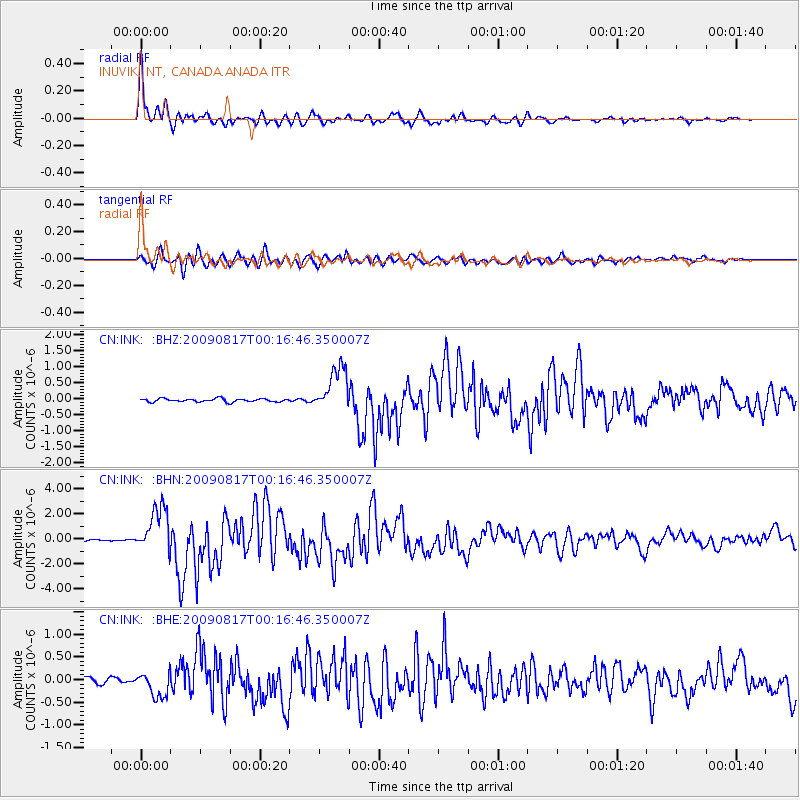
Earthquake location: Southwestern Ryukyu Isl., Japan
Earthquake latitude/longitude: 23.5/123.5
Earthquake time(UTC): 2009/08/17 (229) 00:05:49 GMT
Earthquake Depth: 20 km
Earthquake Magnitude: 6.2 MB, 6.6 MS, 6.7 MW, 6.6 MW
Earthquake Catalog/Contributor: WHDF/NEIC
Network: CN Canadian National Seismograph Network
Station: INK INUVIK, NT, CANADA.ANADA
Lat/Lon: 68.31 N/133.52 W
Elevation: 40 m
Distance: 73.1 deg
Az: 22.255 deg
Baz: 290.746 deg
Ray Param: 0.053235363
Estimated Moho Depth: 10.5 km
Estimated Crust Vp/Vs: 1.66
Assumed Crust Vp: 6.171 km/s
Estimated Crust Vs: 3.712 km/s
Estimated Crust Poisson's Ratio: 0.22
Radial Match: 97.21583 %
Radial Bump: 336
Transverse Match: 92.927666 %
Transverse Bump: 400
SOD ConfigId: 2622
Insert Time: 2010-02-27 06:19:05.180 +0000
GWidth: 2.5
Max Bumps: 400
Tol: 0.001

Signal To Noise

ChannelStoNSTALTA
CN:INK: :BHN:20090817T00:16:46.350007Z43.007241.8309244E-64.2572466E-8
CN:INK: :BHE:20090817T00:16:46.350007Z5.5049122.7366835E-74.971349E-8
CN:INK: :BHZ:20090817T00:16:46.350007Z14.0205697.005338E-74.996472E-8
Arrivals
Ps1.2 SECOND
PpPs4.4 SECOND
PsPs/PpSs5.5 SECOND