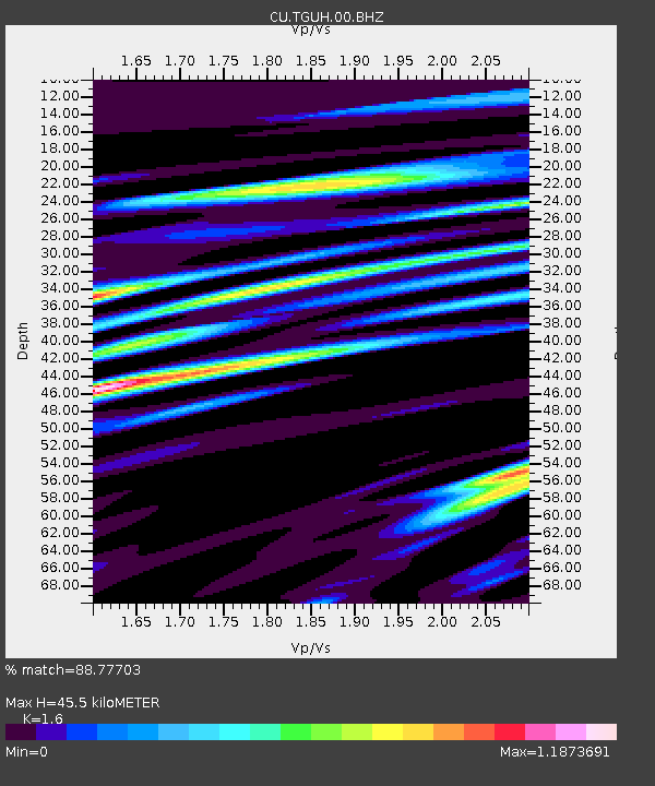
TGUH Tegucigalpa, Honduras - Earthquake Result Viewer

Earthquake location: Fox Islands, Aleutian Islands
Earthquake latitude/longitude: 52.2/-171.7
Earthquake time(UTC): 2011/09/02 (245) 10:55:53 GMT
Earthquake Depth: 32 km
Earthquake Magnitude: 6.5 MB, 6.9 MS, 6.8 MW, 6.8 MW
Earthquake Catalog/Contributor: WHDF/NEIC
Network: CU Caribbean Network (USGS)
Station: TGUH Tegucigalpa, Honduras
Lat/Lon: 14.06 N/87.27 W
Elevation: 0.0 m
Distance: 75.6 deg
Az: 85.589 deg
Baz: 320.746 deg
Ray Param: 0.051491212
Estimated Moho Depth: 45.5 km
Estimated Crust Vp/Vs: 1.60
Assumed Crust Vp: 6.597 km/s
Estimated Crust Vs: 4.123 km/s
Estimated Crust Poisson's Ratio: 0.18
Radial Match: 88.77703 %
Radial Bump: 400
Transverse Match: 85.43779 %
Transverse Bump: 400
SOD ConfigId: 558545
Insert Time: 2013-09-19 02:10:01.942 +0000
GWidth: 2.5
Max Bumps: 400
Tol: 0.001

Signal To Noise

ChannelStoNSTALTA
CU:TGUH:00:BHZ:20110902T11:07:04.399998Z7.9508161.6931181E-62.1294898E-7
CU:TGUH:00:BH1:20110902T11:07:04.399998Z0.98287383.7173257E-73.7820988E-7
CU:TGUH:00:BH2:20110902T11:07:04.399998Z3.5230924.821335E-71.3684954E-7
Arrivals
Ps4.3 SECOND
PpPs17 SECOND
PsPs/PpSs22 SECOND