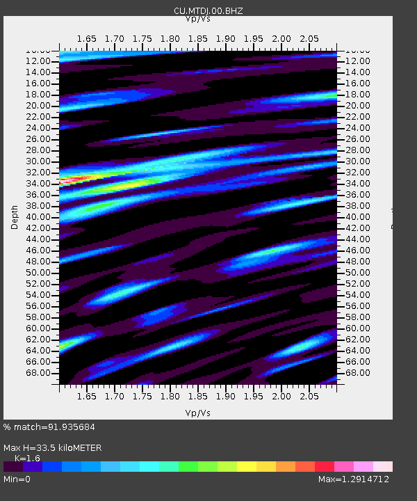
MTDJ Mount Denham, Jamaica - Earthquake Result Viewer

Earthquake location: Vancouver Island, Canada Region
Earthquake latitude/longitude: 49.5/-126.9
Earthquake time(UTC): 2011/09/09 (252) 19:41:34 GMT
Earthquake Depth: 22 km
Earthquake Magnitude: 6.3 MB, 6.4 MS, 6.4 MW, 6.5 MW
Earthquake Catalog/Contributor: WHDF/NEIC
Network: CU Caribbean Network (USGS)
Station: MTDJ Mount Denham, Jamaica
Lat/Lon: 18.23 N/77.53 W
Elevation: 925 m
Distance: 50.3 deg
Az: 110.323 deg
Baz: 319.999 deg
Ray Param: 0.06813764
Estimated Moho Depth: 33.5 km
Estimated Crust Vp/Vs: 1.60
Assumed Crust Vp: 4.662 km/s
Estimated Crust Vs: 2.914 km/s
Estimated Crust Poisson's Ratio: 0.18
Radial Match: 91.935684 %
Radial Bump: 400
Transverse Match: 84.7983 %
Transverse Bump: 400
SOD ConfigId: 558545
Insert Time: 2013-09-19 02:37:37.848 +0000
GWidth: 2.5
Max Bumps: 400
Tol: 0.001

Signal To Noise

ChannelStoNSTALTA
CU:MTDJ:00:BHZ:20110909T19:49:57.875006Z25.2315734.71241E-61.867664E-7
CU:MTDJ:00:BH1:20110909T19:49:57.875006Z11.7793131.546226E-61.3126623E-7
CU:MTDJ:00:BH2:20110909T19:49:57.875006Z8.1225831.3974266E-61.7204214E-7
Arrivals
Ps4.5 SECOND
PpPs18 SECOND
PsPs/PpSs23 SECOND