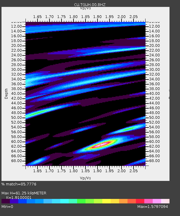
TGUH Tegucigalpa, Honduras - Earthquake Result Viewer

Earthquake location: Near Coast Of Northern Chile
Earthquake latitude/longitude: -27.9/-70.9
Earthquake time(UTC): 2011/12/07 (341) 22:23:09 GMT
Earthquake Depth: 20 km
Earthquake Magnitude: 5.8 MB, 5.8 MS, 6.1 MW, 6.0 MW
Earthquake Catalog/Contributor: WHDF/NEIC
Network: CU Caribbean Network (USGS)
Station: TGUH Tegucigalpa, Honduras
Lat/Lon: 14.06 N/87.27 W
Elevation: 0.0 m
Distance: 44.6 deg
Az: 337.104 deg
Baz: 159.217 deg
Ray Param: 0.07178025
Estimated Moho Depth: 61.25 km
Estimated Crust Vp/Vs: 1.91
Assumed Crust Vp: 6.597 km/s
Estimated Crust Vs: 3.454 km/s
Estimated Crust Poisson's Ratio: 0.31
Radial Match: 85.7776 %
Radial Bump: 400
Transverse Match: 76.58786 %
Transverse Bump: 400
SOD ConfigId: 558545
Insert Time: 2013-09-19 07:52:41.269 +0000
GWidth: 2.5
Max Bumps: 400
Tol: 0.001

Signal To Noise

ChannelStoNSTALTA
CU:TGUH:00:BHZ:20111207T22:30:49.823994Z6.7271478.2275744E-71.2230407E-7
CU:TGUH:00:BH1:20111207T22:30:49.823994Z3.53659776.244564E-71.765698E-7
CU:TGUH:00:BH2:20111207T22:30:49.823994Z1.20256751.8413385E-71.5311728E-7
Arrivals
Ps9.0 SECOND
PpPs25 SECOND
PsPs/PpSs34 SECOND