MBC Mould Bay, Northwest Territories, Canada - Earthquake Result Viewer
Earthquake location: Off East Coast Of Honshu, Japan
Earthquake latitude/longitude: 37.3/142.5
Earthquake time(UTC): 1996/02/16 (047) 15:22:57 GMT
Earthquake Depth: 33 km
Earthquake Magnitude: 6.2 MB, 6.2 MS, 6.7 UNKNOWN, 6.6 MW
Earthquake Catalog/Contributor: WHDF/NEIC
Network: CN Canadian National Seismograph Network
Station: MBC Mould Bay, Northwest Territories, Canada
Lat/Lon: 76.24 N/119.36 W
Elevation: 15 m
Distance: 56.0 deg
Az: 16.607 deg
Baz: 287.878 deg
Ray Param: 0.06437566
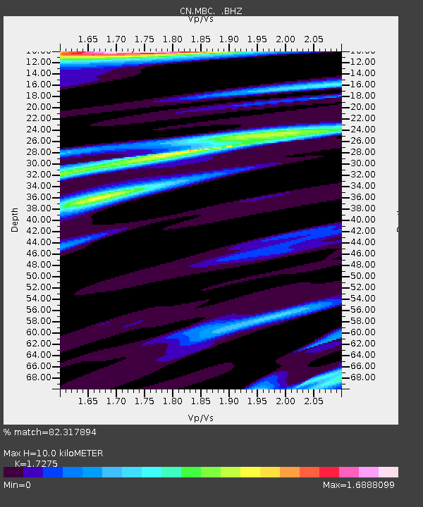
Estimated Moho Depth: 10.0 km
Estimated Crust Vp/Vs: 1.73
Assumed Crust Vp: 6.391 km/s
Estimated Crust Vs: 3.699 km/s
Estimated Crust Poisson's Ratio: 0.25
Radial Match: 82.317894 %
Radial Bump: 400
Transverse Match: 73.80726 %
Transverse Bump: 400
SOD ConfigId: 4480
Insert Time: 2010-02-27 06:43:08.043 +0000
GWidth: 2.5
Max Bumps: 400
Tol: 0.001

Signal To Noise

ChannelStoNSTALTA
CN:MBC: :BHZ:19960216T15:32:02.325024Z2.40902612.6218654E-61.0883507E-6
CN:MBC: :BHN:19960216T15:32:02.325024Z0.93693816.6471046E-77.094497E-7
CN:MBC: :BHE:19960216T15:32:02.325024Z2.33519771.5342396E-66.570063E-7
Arrivals
Ps1.2 SECOND
PpPs4.1 SECOND
PsPs/PpSs5.3 SECOND