MBC Mould Bay, Northwest Territories, Canada - Earthquake Result Viewer
Earthquake location: Andreanof Islands, Aleutian Is.
Earthquake latitude/longitude: 51.3/-179.3
Earthquake time(UTC): 1997/06/17 (168) 21:03:40 GMT
Earthquake Depth: 33 km
Earthquake Magnitude: 6.4 MB, 6.3 MS, 6.4 UNKNOWN, 6.6 ML
Earthquake Catalog/Contributor: WHDF/NEIC
Network: CN Canadian National Seismograph Network
Station: MBC Mould Bay, Northwest Territories, Canada
Lat/Lon: 76.24 N/119.36 W
Elevation: 15 m
Distance: 33.8 deg
Az: 21.893 deg
Baz: 257.708 deg
Ray Param: 0.07800599
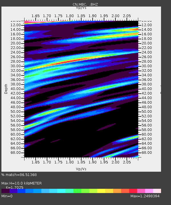
Estimated Moho Depth: 10.0 km
Estimated Crust Vp/Vs: 1.70
Assumed Crust Vp: 6.391 km/s
Estimated Crust Vs: 3.754 km/s
Estimated Crust Poisson's Ratio: 0.24
Radial Match: 86.51368 %
Radial Bump: 400
Transverse Match: 76.73273 %
Transverse Bump: 400
SOD ConfigId: 4480
Insert Time: 2010-02-27 06:45:16.839 +0000
GWidth: 2.5
Max Bumps: 400
Tol: 0.001

Signal To Noise

ChannelStoNSTALTA
CN:MBC: :BHZ:19970617T21:09:48.425006Z13.9758961.2714664E-69.097566E-8
CN:MBC: :BHN:19970617T21:09:48.425006Z2.4774451.1752831E-74.7439322E-8
CN:MBC: :BHE:19970617T21:09:48.425006Z12.0769116.4818335E-75.367129E-8
Arrivals
Ps1.2 SECOND
PpPs3.9 SECOND
PsPs/PpSs5.1 SECOND