GRGR Grenville, Grenada - Earthquake Result Viewer
Earthquake location: Near Coast Of Guerrero, Mexico
Earthquake latitude/longitude: 16.5/-98.2
Earthquake time(UTC): 2012/03/20 (080) 18:02:47 GMT
Earthquake Depth: 20 km
Earthquake Magnitude: 6.6 MB, 7.6 MS, 7.4 MW, 7.4 MW
Earthquake Catalog/Contributor: WHDF/NEIC
Network: CU Caribbean Network (USGS)
Station: GRGR Grenville, Grenada
Lat/Lon: 12.13 N/61.65 W
Elevation: 195 m
Distance: 35.7 deg
Az: 92.088 deg
Baz: 281.378 deg
Ray Param: 0.077072695
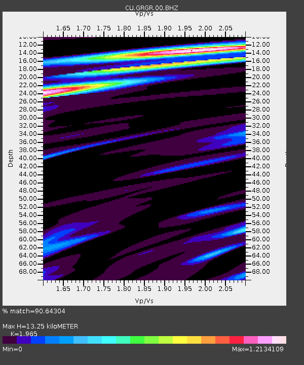
Estimated Moho Depth: 13.25 km
Estimated Crust Vp/Vs: 1.97
Assumed Crust Vp: 5.738 km/s
Estimated Crust Vs: 2.92 km/s
Estimated Crust Poisson's Ratio: 0.33
Radial Match: 90.64304 %
Radial Bump: 293
Transverse Match: 87.852974 %
Transverse Bump: 400
SOD ConfigId: 558545
Insert Time: 2013-09-19 14:18:01.799 +0000
GWidth: 2.5
Max Bumps: 400
Tol: 0.001

Signal To Noise

ChannelStoNSTALTA
CU:GRGR:00:BHZ:20120320T18:09:13.524991Z22.125711.0845883E-54.9019366E-7
CU:GRGR:00:BH1:20120320T18:09:13.524991Z2.1766071.2262326E-65.6336887E-7
CU:GRGR:00:BH2:20120320T18:09:13.524991Z6.43006324.2555876E-66.618267E-7
Arrivals
Ps2.3 SECOND
PpPs6.5 SECOND
PsPs/PpSs8.8 SECOND