MBAR Mbarara, Uganda - Earthquake Result Viewer
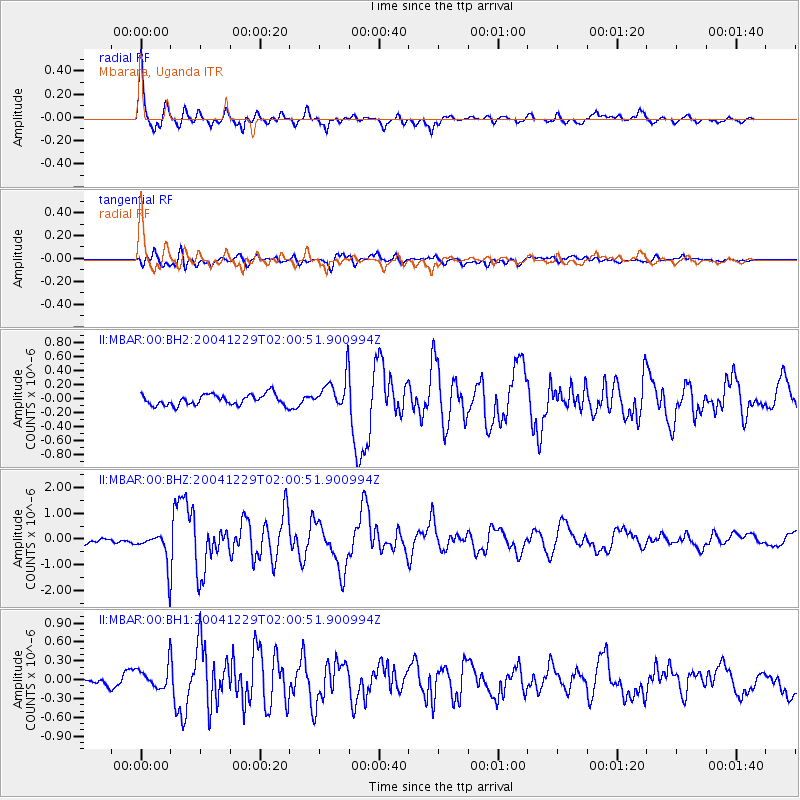
Earthquake location: Nicobar Islands, India Region
Earthquake latitude/longitude: 9.1/93.8
Earthquake time(UTC): 2004/12/29 (364) 01:50:52 GMT
Earthquake Depth: 8.0 km
Earthquake Magnitude: 6.1 MW, 5.7 MS, 6.0 MB, 6.0 MW
Earthquake Catalog/Contributor: NEIC PDE/NEIC PDE-M
Network: II Global Seismograph Network (GSN - IRIS/IDA)
Station: MBAR Mbarara, Uganda
Lat/Lon: 0.60 S/30.74 E
Elevation: 1390 m
Distance: 63.5 deg
Az: 264.764 deg
Baz: 79.573 deg
Ray Param: 0.059549592
Estimated Moho Depth: 56.5 km
Estimated Crust Vp/Vs: 1.82
Assumed Crust Vp: 6.419 km/s
Estimated Crust Vs: 3.537 km/s
Estimated Crust Poisson's Ratio: 0.28
Radial Match: 89.365295 %
Radial Bump: 400
Transverse Match: 75.74151 %
Transverse Bump: 400
SOD ConfigId: 590571
Insert Time: 2013-09-25 09:14:15.928 +0000
GWidth: 2.5
Max Bumps: 400
Tol: 0.001

Signal To Noise

ChannelStoNSTALTA
II:MBAR:00:BHZ:20041229T02:00:51.900994Z7.3864146.7162824E-79.092751E-8
II:MBAR:00:BH1:20041229T02:00:51.900994Z2.14285731.8877256E-78.809385E-8
II:MBAR:00:BH2:20041229T02:00:51.900994Z3.05477122.3419912E-77.6666666E-8
Arrivals
Ps7.5 SECOND
PpPs24 SECOND
PsPs/PpSs31 SECOND