E1S PLACE HOLDER, Mt. Erebus Volcano Seismic Network - Earthquake Result Viewer
Earthquake location: South Of Kermadec Islands
Earthquake latitude/longitude: -32.6/-179.4
Earthquake time(UTC): 2005/05/16 (136) 03:54:14 GMT
Earthquake Depth: 34 km
Earthquake Magnitude: 6.2 MB, 6.4 MS, 6.6 MW, 6.6 MW
Earthquake Catalog/Contributor: WHDF/NEIC
Network: ER Mount Erebus Volcano Observatory Seismic Network
Station: E1S PLACE HOLDER, Mt. Erebus Volcano Seismic Network
Lat/Lon: 77.53 S/167.14 E
Elevation: 3712 m
Distance: 45.4 deg
Az: 184.085 deg
Baz: 16.064 deg
Ray Param: 0.07120337
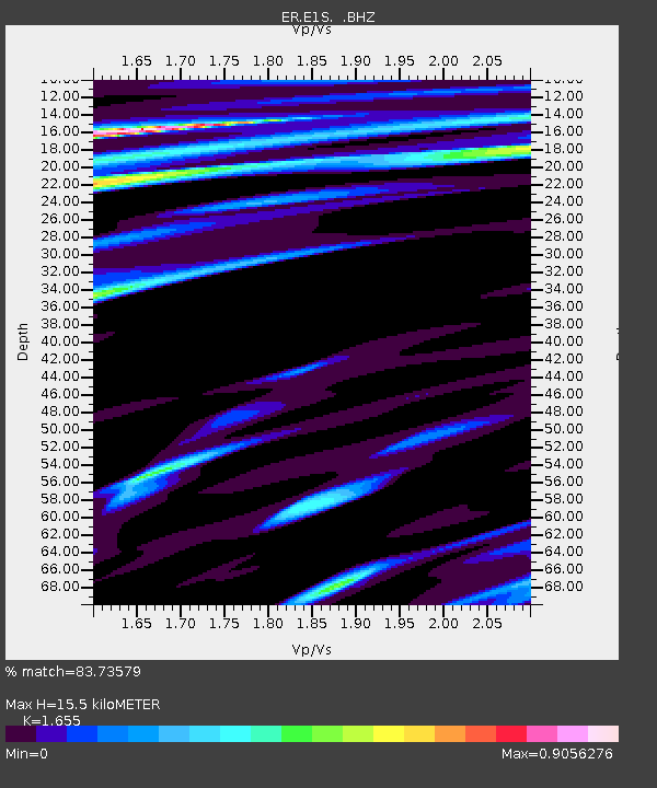
Estimated Moho Depth: 15.5 km
Estimated Crust Vp/Vs: 1.65
Assumed Crust Vp: 6.183 km/s
Estimated Crust Vs: 3.736 km/s
Estimated Crust Poisson's Ratio: 0.21
Radial Match: 83.73579 %
Radial Bump: 400
Transverse Match: 73.113525 %
Transverse Bump: 400
SOD ConfigId: 590571
Insert Time: 2013-09-25 12:58:29.825 +0000
GWidth: 2.5
Max Bumps: 400
Tol: 0.001

Signal To Noise

ChannelStoNSTALTA
ER:E1S: :BHZ:20050516T04:01:59.750005Z5.93525362.402999E-64.0486876E-7
ER:E1S: :BH1:20050516T04:01:59.750005Z1.5948777.924723E-74.968862E-7
ER:E1S: :BH2:20050516T04:01:59.750005Z2.58862571.0131627E-63.913902E-7
Arrivals
Ps1.7 SECOND
PpPs6.3 SECOND
PsPs/PpSs8.0 SECOND