YKW3 - Earthquake Result Viewer
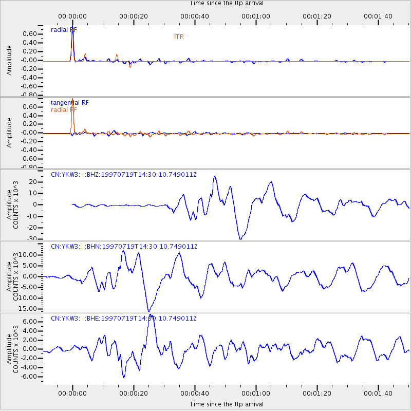
Earthquake location: Near Coast Of Guerrero, Mexico
Earthquake latitude/longitude: 16.3/-98.2
Earthquake time(UTC): 1997/07/19 (200) 14:22:08 GMT
Earthquake Depth: 33 km
Earthquake Magnitude: 5.7 MB, 6.3 MS, 6.8 UNKNOWN, 6.0 ME
Earthquake Catalog/Contributor: WHDF/NEIC
Network: CN Canadian National Seismograph Network
Station: YKW3
Lat/Lon: 62.56 N/114.62 W
Elevation: 200 m
Distance: 47.6 deg
Az: 349.797 deg
Baz: 158.46 deg
Ray Param: 0.06982625
Estimated Moho Depth: 38.25 km
Estimated Crust Vp/Vs: 1.68
Assumed Crust Vp: 6.459 km/s
Estimated Crust Vs: 3.856 km/s
Estimated Crust Poisson's Ratio: 0.22
Radial Match: 98.83619 %
Radial Bump: 175
Transverse Match: 86.39781 %
Transverse Bump: 400
SOD ConfigId: 6273
Insert Time: 2010-02-27 08:21:52.887 +0000
GWidth: 2.5
Max Bumps: 400
Tol: 0.001

Signal To Noise

ChannelStoNSTALTA
CN:YKW3: :BHN:19970719T14:30:10.749011Z4.33455751372.1447316.55933
CN:YKW3: :BHE:19970719T14:30:10.749011Z1.4790574575.0029388.76306
CN:YKW3: :BHZ:19970719T14:30:10.749011Z4.053032492.0183614.85315
Arrivals
Ps4.3 SECOND
PpPs15 SECOND
PsPs/PpSs19 SECOND