E1S PLACE HOLDER, Mt. Erebus Volcano Seismic Network - Earthquake Result Viewer
Earthquake location: New Britain Region, P.N.G.
Earthquake latitude/longitude: -4.8/152.9
Earthquake time(UTC): 2007/10/09 (282) 15:03:41 GMT
Earthquake Depth: 39 km
Earthquake Magnitude: 5.7 MB, 5.7 MS, 6.0 MW, 5.9 MW
Earthquake Catalog/Contributor: WHDF/NEIC
Network: ER Mount Erebus Volcano Observatory Seismic Network
Station: E1S PLACE HOLDER, Mt. Erebus Volcano Seismic Network
Lat/Lon: 77.53 S/167.14 E
Elevation: 3712 m
Distance: 73.1 deg
Az: 176.795 deg
Baz: 345.145 deg
Ray Param: 0.05318089
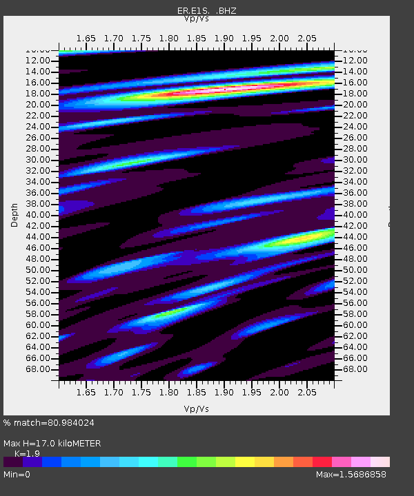
Estimated Moho Depth: 17.0 km
Estimated Crust Vp/Vs: 1.90
Assumed Crust Vp: 6.183 km/s
Estimated Crust Vs: 3.254 km/s
Estimated Crust Poisson's Ratio: 0.31
Radial Match: 80.984024 %
Radial Bump: 400
Transverse Match: 70.11984 %
Transverse Bump: 400
SOD ConfigId: 590571
Insert Time: 2013-09-26 15:39:04.141 +0000
GWidth: 2.5
Max Bumps: 400
Tol: 0.001

Signal To Noise

ChannelStoNSTALTA
ER:E1S: :BHZ:20071009T15:14:36.400002Z9.2863861.0614716E-61.14304065E-7
ER:E1S: :BH1:20071009T15:14:36.400002Z3.15093522.6086775E-78.279058E-8
ER:E1S: :BH2:20071009T15:14:36.400002Z1.8086313.9352386E-72.1758107E-7
Arrivals
Ps2.5 SECOND
PpPs7.7 SECOND
PsPs/PpSs10 SECOND