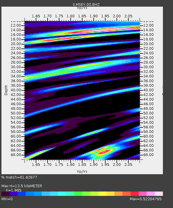
MSEY Mahe, Seychelles - Earthquake Result Viewer

Earthquake location: Sumbawa Region, Indonesia
Earthquake latitude/longitude: -8.3/118.3
Earthquake time(UTC): 2007/11/25 (329) 16:02:17 GMT
Earthquake Depth: 35 km
Earthquake Magnitude: 6.2 MB, 6.3 MS, 6.5 MW, 6.4 MW
Earthquake Catalog/Contributor: WHDF/NEIC
Network: II Global Seismograph Network (GSN - IRIS/IDA)
Station: MSEY Mahe, Seychelles
Lat/Lon: 4.67 S/55.48 E
Elevation: 475 m
Distance: 62.5 deg
Az: 269.026 deg
Baz: 96.863 deg
Ray Param: 0.06011789
Estimated Moho Depth: 13.5 km
Estimated Crust Vp/Vs: 1.97
Assumed Crust Vp: 6.303 km/s
Estimated Crust Vs: 3.207 km/s
Estimated Crust Poisson's Ratio: 0.33
Radial Match: 81.62677 %
Radial Bump: 400
Transverse Match: 70.31881 %
Transverse Bump: 400
SOD ConfigId: 590571
Insert Time: 2013-09-26 17:05:08.374 +0000
GWidth: 2.5
Max Bumps: 400
Tol: 0.001

Signal To Noise

ChannelStoNSTALTA
II:MSEY:00:BHZ:20071125T16:12:07.025977Z3.92175671.2995202E-63.3136175E-7
II:MSEY:00:BH1:20071125T16:12:07.025977Z1.81118254.635463E-72.559357E-7
II:MSEY:00:BH2:20071125T16:12:07.025977Z1.58723523.9364468E-72.4800653E-7
Arrivals
Ps2.1 SECOND
PpPs6.1 SECOND
PsPs/PpSs8.3 SECOND