RSSD Black Hills, South Dakota, USA - Earthquake Result Viewer
Earthquake location: Andreanof Islands, Aleutian Is.
Earthquake latitude/longitude: 51.9/-179.2
Earthquake time(UTC): 2008/04/16 (107) 05:54:19 GMT
Earthquake Depth: 13 km
Earthquake Magnitude: 6.1 MB, 6.5 MS, 6.6 MW, 6.6 MW
Earthquake Catalog/Contributor: WHDF/NEIC
Network: IU Global Seismograph Network (GSN - IRIS/USGS)
Station: RSSD Black Hills, South Dakota, USA
Lat/Lon: 44.12 N/104.04 W
Elevation: 2060 m
Distance: 48.8 deg
Az: 67.733 deg
Baz: 307.199 deg
Ray Param: 0.06912588
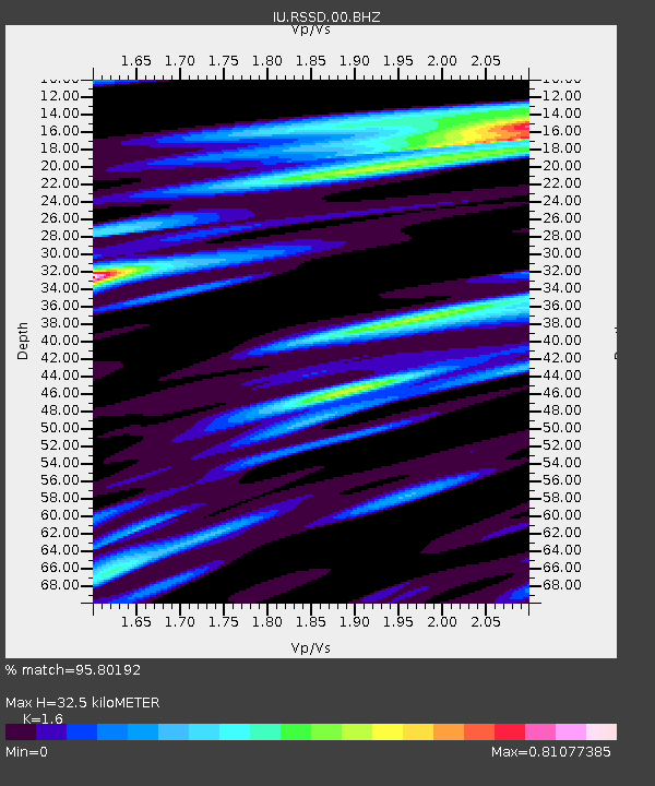
Estimated Moho Depth: 32.5 km
Estimated Crust Vp/Vs: 1.60
Assumed Crust Vp: 6.242 km/s
Estimated Crust Vs: 3.901 km/s
Estimated Crust Poisson's Ratio: 0.18
Radial Match: 95.80192 %
Radial Bump: 309
Transverse Match: 82.546074 %
Transverse Bump: 400
SOD ConfigId: 590571
Insert Time: 2013-09-26 22:18:04.019 +0000
GWidth: 2.5
Max Bumps: 400
Tol: 0.001

Signal To Noise

ChannelStoNSTALTA
IU:RSSD:00:BHZ:20080416T06:02:33.298002Z4.03033355.0691006E-71.2577372E-7
IU:RSSD:00:BH1:20080416T06:02:33.298002Z4.73478753.0977432E-76.542518E-8
IU:RSSD:00:BH2:20080416T06:02:33.298002Z0.71256089.321439E-81.3081605E-7
Arrivals
Ps3.3 SECOND
PpPs13 SECOND
PsPs/PpSs16 SECOND