TRQA Tornquist, Argentina - Earthquake Result Viewer
Earthquake location: Kermadec Islands, New Zealand
Earthquake latitude/longitude: -29.8/-177.7
Earthquake time(UTC): 2008/09/29 (273) 15:19:31 GMT
Earthquake Depth: 36 km
Earthquake Magnitude: 6.5 MB, 6.7 MS, 7.0 MW, 7.0 MW
Earthquake Catalog/Contributor: WHDF/NEIC
Network: IU Global Seismograph Network (GSN - IRIS/USGS)
Station: TRQA Tornquist, Argentina
Lat/Lon: 38.06 S/61.98 W
Elevation: 540 m
Distance: 89.7 deg
Az: 134.659 deg
Baz: 231.586 deg
Ray Param: 0.0417221
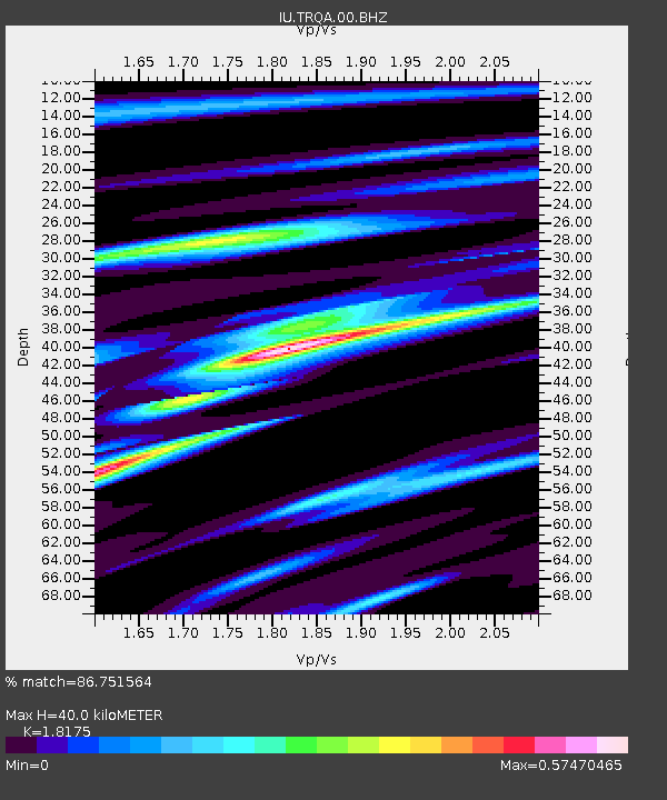
Estimated Moho Depth: 40.0 km
Estimated Crust Vp/Vs: 1.82
Assumed Crust Vp: 6.472 km/s
Estimated Crust Vs: 3.561 km/s
Estimated Crust Poisson's Ratio: 0.28
Radial Match: 86.751564 %
Radial Bump: 352
Transverse Match: 67.905464 %
Transverse Bump: 400
SOD ConfigId: 590571
Insert Time: 2013-09-27 04:30:43.978 +0000
GWidth: 2.5
Max Bumps: 400
Tol: 0.001

Signal To Noise

ChannelStoNSTALTA
IU:TRQA:00:BHZ:20080929T15:31:54.683994Z3.26476539.569527E-72.9311533E-7
IU:TRQA:00:BH1:20080929T15:31:54.683994Z1.03339763.0190117E-72.9214428E-7
IU:TRQA:00:BH2:20080929T15:31:54.683994Z1.34005323.3544964E-72.503256E-7
Arrivals
Ps5.2 SECOND
PpPs17 SECOND
PsPs/PpSs22 SECOND