06 06 - Earthquake Result Viewer
Earthquake location: Mindoro, Philippines
Earthquake latitude/longitude: 13.8/120.1
Earthquake time(UTC): 2010/03/25 (084) 05:29:24 GMT
Earthquake Depth: 16 km
Earthquake Magnitude: 5.9 MB, 5.6 MS, 6.0 MW, 5.8 MW
Earthquake Catalog/Contributor: WHDF/NEIC
Network: Z6 Forsyth Deployment near the South Shatsky Fracture Zone
Station: 06 06
Lat/Lon: 28.27 N/150.55 E
Elevation: -5964.0 m
Distance: 31.8 deg
Az: 58.218 deg
Baz: 249.422 deg
Ray Param: 0.0789283
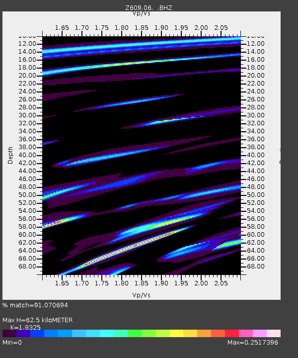
Estimated Moho Depth: 62.5 km
Estimated Crust Vp/Vs: 1.83
Assumed Crust Vp: 4.24 km/s
Estimated Crust Vs: 2.314 km/s
Estimated Crust Poisson's Ratio: 0.29
Radial Match: 91.070694 %
Radial Bump: 102
Transverse Match: 70.31587 %
Transverse Bump: 169
SOD ConfigId: 617450
Insert Time: 2013-10-01 03:01:01.848 +0000
GWidth: 2.5
Max Bumps: 400
Tol: 0.001

Signal To Noise

ChannelStoNSTALTA
Z6:06: :BHZ:20100325T05:35:17.371001Z0.97134545.5180726E-65.680855E-6
Z6:06: :BH1:20100325T05:35:17.371001Z6.89031655.3384883E-57.7478135E-6
Z6:06: :BH2:20100325T05:35:17.371001Z2.61531541.629527E-56.230709E-6
Arrivals
Ps13 SECOND
PpPs40 SECOND
PsPs/PpSs53 SECOND